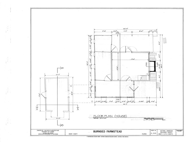
File:Burnsed Farmstead, Near Route 127 and St. Mary's River, Macclenny, Baker County, FL HABS FL-444 (sheet 2 of 12).tif
Size of this JPG preview of this TIF file: 800 × 595 pixels. Other resolutions: 320 × 238 pixels | 640 × 476 pixels | 1,024 × 761 pixels | 1,280 × 952 pixels | 2,560 × 1,903 pixels | 10,016 × 7,446 pixels.
Original file (10,016 × 7,446 pixels, file size: 208 KB, MIME type: image/tiff)
Captions
Captions
Add a one-line explanation of what this file represents
Summary edit
| HABS FL-444 (sheet 2 of 12) - Burnsed Farmstead, Near Route 127 and St. Mary's River, Macclenny, Baker County, FL | ||||
|---|---|---|---|---|
| Photographer |
Related names:
|
|||
| Title |
HABS FL-444 (sheet 2 of 12) - Burnsed Farmstead, Near Route 127 and St. Mary's River, Macclenny, Baker County, FL |
|||
| Depicted place | Florida; Baker County; Macclenny | |||
| Date | Documentation compiled after 1933 | |||
| Dimensions | 19 x 24 in. (B size) | |||
| Current location |
Library of Congress Prints and Photographs Division Washington, D.C. 20540 USA http://hdl.loc.gov/loc.pnp/pp.print |
|||
| Accession number |
HABS FL-444 (sheet 2 of 12) |
|||
| Credit line |
|
|||
| Notes |
|
|||
| Source | https://www.loc.gov/pictures/item/fl0497.sheet.00002a | |||
| Permission (Reusing this file) |
|
|||
| Other versions |
.png) .png) .png) .png) .png) .png) .png) .png) .png) .png) .png) .png) |
|||

| Object location | | View this and other nearby images on: OpenStreetMap |
|---|
File history
Click on a date/time to view the file as it appeared at that time.
| Date/Time | Thumbnail | Dimensions | User | Comment | |
|---|---|---|---|---|---|
| current | 14:22, 12 July 2014 |  | 10,016 × 7,446 (208 KB) | Fæ (talk | contribs) | GWToolset: Creating mediafile for Fæ. HABS 09 July 2014 (801:1000) |
You cannot overwrite this file.
File usage on Commons
The following 2 pages use this file: