File:By Ovedc - Gdor Reserve (4).jpg
Size of this preview: 800 × 600 pixels. Other resolutions: 320 × 240 pixels | 640 × 480 pixels | 1,024 × 768 pixels | 1,280 × 960 pixels | 2,560 × 1,920 pixels | 4,000 × 3,000 pixels.
Original file (4,000 × 3,000 pixels, file size: 7.51 MB, MIME type: image/jpeg)
Captions
Captions
Add a one-line explanation of what this file represents
Summary edit
.jpg&action=edit§ion=1)
| Description |
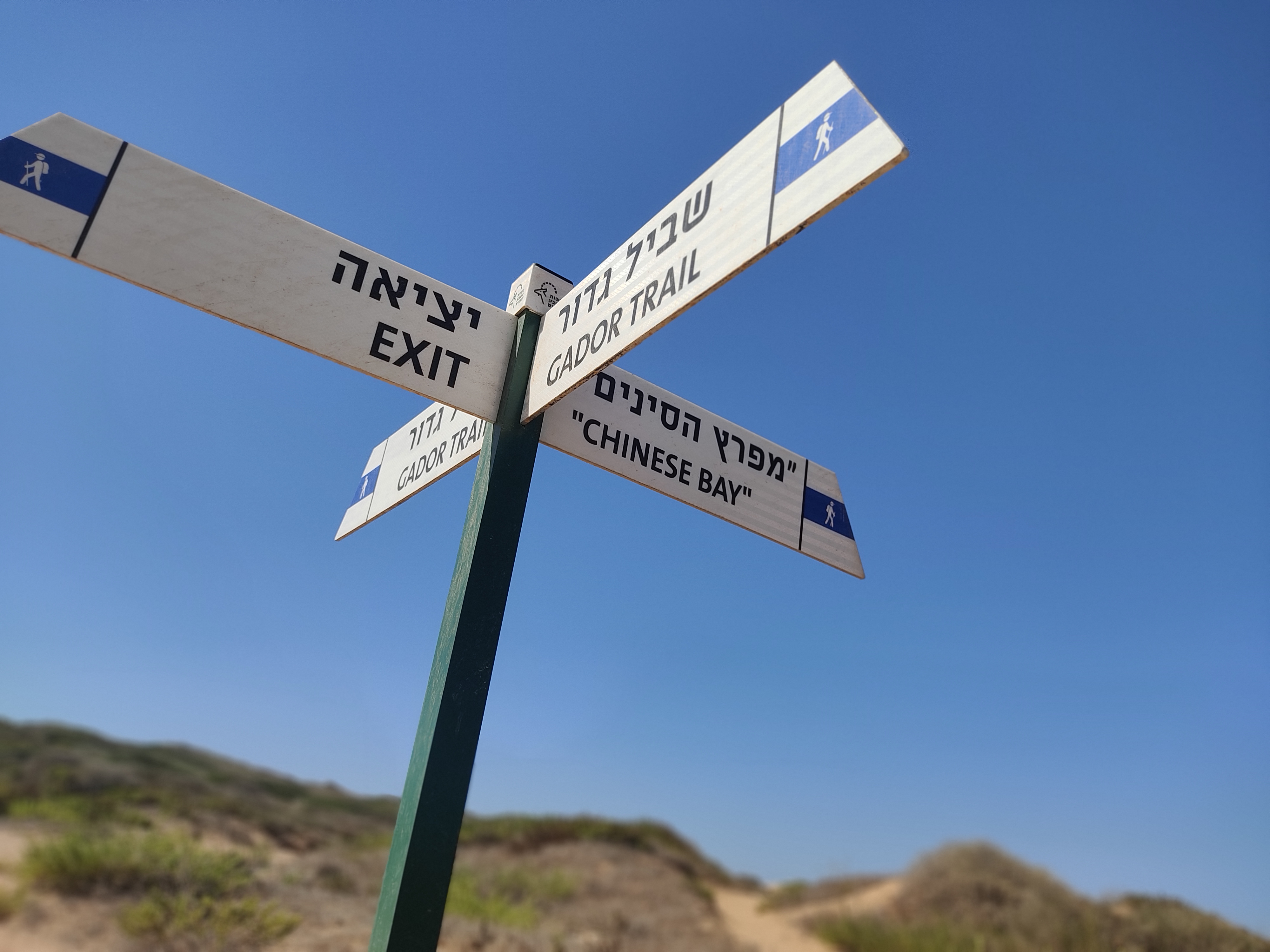
עברית: שְׁמוּרַת תֵּל גְּדוֹר היא שמורת טבע וגן לאומי בשרון, השוכנת לאורך חוף הים התיכון, בין היישוב מכמורת, מדרום לשכונת גבעת אולגה שבחדרה מצפון. האתר כולל את השמורה הימית - שמורת ים גדור ששטחה של 844 דונם, ושמורה חופית בשטח כולל של 752 דונם, שמהם 105 דונמים כבר הוכרזו, והיתר נמצאים בהליכי אישור.
|
||
| Date | |||
| Source | Own work | ||
| Author | Ovedc |
| Camera location | | View this and other nearby images on: OpenStreetMap |
|---|
.jpg¶ms=032.426281_N_0034.874967_E_globe:Earth_type:camera__&language=en)
Licensing edit
.jpg&action=edit§ion=2)
I, the copyright holder of this work, hereby publish it under the following license:
This file is licensed under the Creative Commons Attribution-Share Alike 4.0 International license.
- You are free:
- to share – to copy, distribute and transmit the work
- to remix – to adapt the work
- Under the following conditions:
- attribution – You must give appropriate credit, provide a link to the license, and indicate if changes were made. You may do so in any reasonable manner, but not in any way that suggests the licensor endorses you or your use.
- share alike – If you remix, transform, or build upon the material, you must distribute your contributions under the same or compatible license as the original.

|
This image was uploaded as part of Wiki Loves Monuments 2021.
|
 |
File history
Click on a date/time to view the file as it appeared at that time.
| Date/Time | Thumbnail | Dimensions | User | Comment | |
|---|---|---|---|---|---|
| current | 14:14, 10 October 2021 | | 4,000 × 3,000 (7.51 MB) | Ovedc (talk | contribs) | Uploaded own work with UploadWizard |
You cannot overwrite this file.
File usage on Commons
There are no pages that use this file.
.jpg&oldid=840157864)