File:Byrchall High School.jpg
Size of this preview: 800 × 370 pixels. Other resolutions: 320 × 148 pixels | 640 × 296 pixels | 1,024 × 474 pixels | 1,280 × 592 pixels | 2,560 × 1,184 pixels | 5,047 × 2,335 pixels.
Original file (5,047 × 2,335 pixels, file size: 13.89 MB, MIME type: image/jpeg)
Captions
Captions
Add a one-line explanation of what this file represents
Summary edit
| Description |
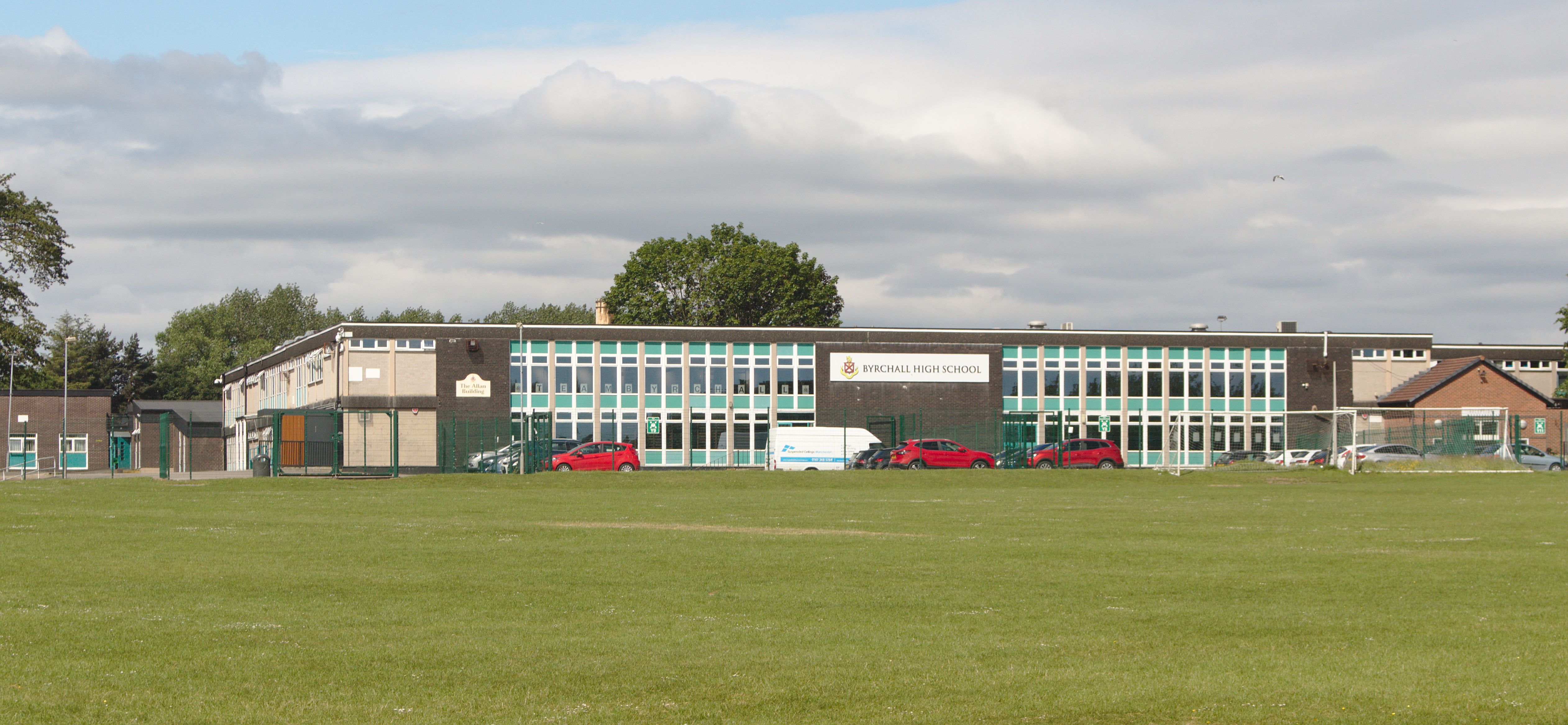
English: Byrchall High School is secondary school and specialist Mathematics and Computing with academy status on Warrington Road, off Lodge Lane, Ashton-in-Makerfield |
| Date | Taken on 16 June 2021 09:32:22 |
| Source | Own work |
| Author | Rodhullandemu |
| Object location | | View this and other nearby images on: OpenStreetMap |
|---|
Licensing edit

|
The copyright holder of this file, User:Rodhullandemu, allows anyone to use it for any purpose, provided that the copyright holder is properly attributed. Redistribution, derivative work, commercial use, and all other use is permitted. |
Attribution:
By Phil Nash from Wikimedia Commons CC BY-SA 4.0 & GFDL Views
|

|
This image has been assessed under the valued image criteria and is considered the most valued image on Commons within the scope: Buildings in Ashton-in-Makerfield - Byrchall High School. You can see its nomination here. |
File history
Click on a date/time to view the file as it appeared at that time.
| Date/Time | Thumbnail | Dimensions | User | Comment | |
|---|---|---|---|---|---|
| current | 17:11, 24 June 2021 | | 5,047 × 2,335 (13.89 MB) | Rodhullandemu (talk | contribs) | Uploaded own work with UploadWizard |
You cannot overwrite this file.
File usage on Commons
The following 3 pages use this file:
File usage on other wikis
The following other wikis use this file:
- Usage on en.wikipedia.org