File:C77190s1 Ant.Map Ross Island.jpg
Size of this preview: 800 × 508 pixels. Other resolutions: 320 × 203 pixels | 640 × 406 pixels | 1,024 × 650 pixels | 1,280 × 813 pixels | 2,560 × 1,625 pixels | 5,118 × 3,249 pixels.
Original file (5,118 × 3,249 pixels, file size: 1.95 MB, MIME type: image/jpeg)
Captions
Captions
Add a one-line explanation of what this file represents
| Description |
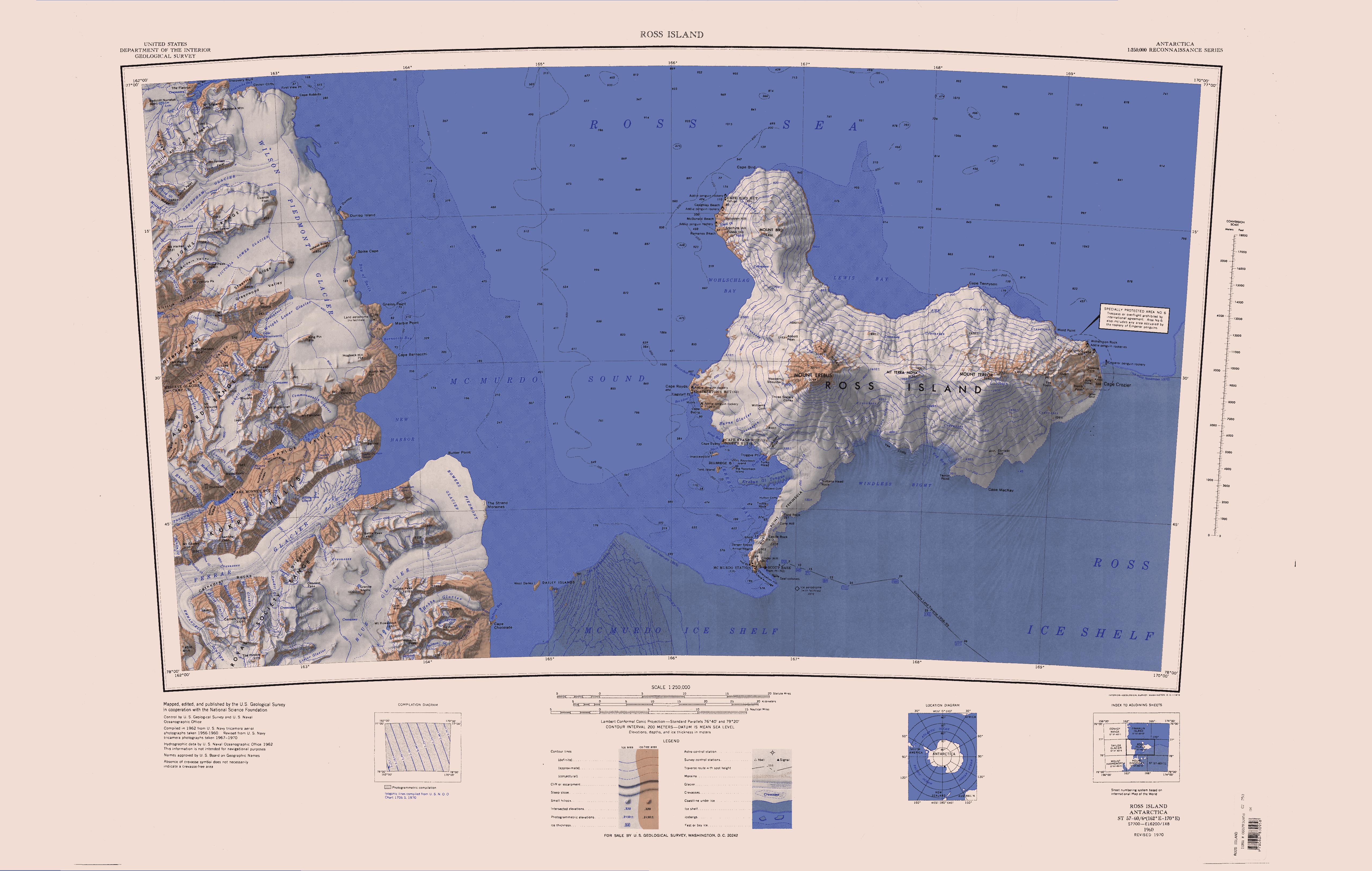
English: Map of Antarctica by the United States Antarctic Resource Center of the US Geological Society. |
| Source | USGS |
| Author | USGS |
| Other versions | File:Ross Island Topographic Map USGS.png : Higher quality PNG version |
This image is in the public domain in the United States because it only contains materials that originally came from the United States Geological Survey, an agency of the United States Department of the Interior. For more information, see the official USGS copyright policy.
|
File history
Click on a date/time to view the file as it appeared at that time.
| Date/Time | Thumbnail | Dimensions | User | Comment | |
|---|---|---|---|---|---|
| current | 12:01, 15 April 2005 | | 5,118 × 3,249 (1.95 MB) | Achim Raschka (talk | contribs) | Map of Antarctica by the United States Antarctic Ressource Center of the US Geological Society. {{PD-US}} Copyrights and Trademarks USGS-authored or produced data and information are in the public domain. While the content of most USGS web pages is in th |
You cannot overwrite this file.
File usage on Commons
The following page uses this file:
File usage on other wikis
The following other wikis use this file:
- Usage on ceb.wikipedia.org
- Usage on de.wikipedia.org
- Meserve-Gletscher
- Antarktische Trockentäler
- Tschadsee (Antarktika)
- Dailey Islands
- Marble Point
- Kap Roberts
- Wilson-Piedmont-Gletscher
- Kap Bernacchi
- Bernacchi-Bucht
- Bowers-Piedmont-Gletscher
- Blue Glacier
- Denton Hills
- Staeffler Ridge
- Matterhorn (Viktorialand)
- Lacroix-Gletscher
- Matterhorn-Gletscher
- Debenham-Gletscher
- Gonville and Caius Range
- Arnold Cove
- Gneiss Point
- Redcliff-Nunatak
- Borns-Gletscher
- Mount Coates (Viktorialand)
- Briggs Hill
- Descent-Pass
- Brodie Ponds
- Kuechle Island
- West Dailey Island
- Usage on en.wikipedia.org
View more global usage of this file.