File:CAMap-doton-Long Beach.PNG

Size of this preview: 730 × 599 pixels. Other resolutions: 292 × 240 pixels | 585 × 480 pixels | 935 × 768 pixels | 1,247 × 1,024 pixels.
Original file (1,247 × 1,024 pixels, file size: 245 KB, MIME type: image/png)
Captions
Captions
Add a one-line explanation of what this file represents
Summary edit
| Description |
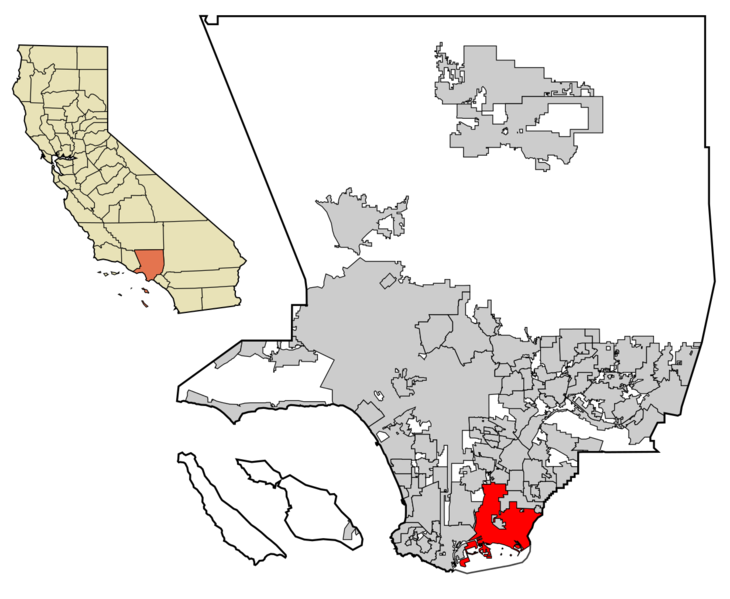
English: Locator map of Category:Long Beach— in Los Angeles County, California. |
| Date | Unknown date |
| Source | Transferred from en.wikipedia to Commons.. Maps for U.S. cities derived from PD state maps by different users from en.wikipedia. |
| Author | Unknown author |

|
File:LA County Incorporated Areas Long Beach highlighted.svg is a vector version of this file. It should be used in place of this PNG file when not inferior.
File:CAMap-doton-Long Beach.PNG → File:LA County Incorporated Areas Long Beach highlighted.svg
For more information, see Help:SVG. |
 |
Licensing edit

|
Permission is granted to copy, distribute and/or modify this document under the terms of the GNU Free Documentation License, Version 1.2 or any later version published by the Free Software Foundation; with no Invariant Sections, no Front-Cover Texts, and no Back-Cover Texts. A copy of the license is included in the section entitled GNU Free Documentation License. |
| This file is licensed under the Creative Commons Attribution-Share Alike 3.0 Unported license. | ||
| ||
| This licensing tag was added to this file as part of the GFDL licensing update. |
Original upload log edit
The original description page was here. All following user names refer to en.wikipedia.
Note: This file was originaly uploaded to en.wikipedia as en:File:Long Beach in LA County map.png, if you have access to the deleted history, you could to complete this field.
File history
Click on a date/time to view the file as it appeared at that time.
| Date/Time | Thumbnail | Dimensions | User | Comment | |
|---|---|---|---|---|---|
| current | 07:15, 17 October 2016 | | 1,247 × 1,024 (245 KB) | Metrónomo (talk | contribs) | color adjustment |
| 21:52, 10 February 2006 |  | 1,008 × 668 (23 KB) | Michiel1972 (talk | contribs) | Locator maps U.S. cities derived from PD state maps by different users from en.wikipedia. <small>the filename has sometimes been adapted to the general syntax</small> {{GFDL}} category:Location maps of U.S. cities |
You cannot overwrite this file.
File usage on Commons
There are no pages that use this file.