File:CFPAMattabesettLamentationMtn.jpg

Size of this preview: 800 × 600 pixels. Other resolutions: 320 × 240 pixels | 640 × 480 pixels | 1,024 × 768 pixels | 1,280 × 960 pixels | 2,048 × 1,536 pixels.
Original file (2,048 × 1,536 pixels, file size: 1.16 MB, MIME type: image/jpeg)
Captions
Captions
Add a one-line explanation of what this file represents
| Description |
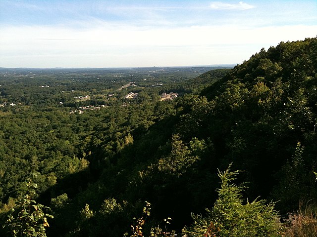
Mattabesett Blue-Blazed Trail. Lamentation Mountain looking north from Lamentation ridge line. |
| Date | Taken on 27 August 2009 |
| Source | Own work |
| Author | H. Morrow Long |
| Permission (Reusing this file) |
Own work, share alike, attribution required (Creative Commons CC-BY-SA-3.0) |
| Camera location | | View this and other nearby images on: OpenStreetMap |
|---|
I, the copyright holder of this work, hereby publish it under the following license:
This file is licensed under the Creative Commons Attribution-Share Alike 3.0 Unported license.
- You are free:
- to share – to copy, distribute and transmit the work
- to remix – to adapt the work
- Under the following conditions:
- attribution – You must give appropriate credit, provide a link to the license, and indicate if changes were made. You may do so in any reasonable manner, but not in any way that suggests the licensor endorses you or your use.
- share alike – If you remix, transform, or build upon the material, you must distribute your contributions under the same or compatible license as the original.
File history
Click on a date/time to view the file as it appeared at that time.
| Date/Time | Thumbnail | Dimensions | User | Comment | |
|---|---|---|---|---|---|
| current | 01:33, 1 May 2010 | | 2,048 × 1,536 (1.16 MB) | Morrowlong (talk | contribs) | {{Information |Description=Mattabesett Blue-Blazed Trail. Lamentation Mountain looking north from Lamentation ridge line. |Source=Own work |Date=taken on August 27, 2009 |Author=H. Morrow Long |Permission=Own work, share alike, attribution required (Cr |
You cannot overwrite this file.
File usage on Commons
The following page uses this file:
File usage on other wikis
The following other wikis use this file:
- Usage on de.wikipedia.org
- Usage on en.wikipedia.org