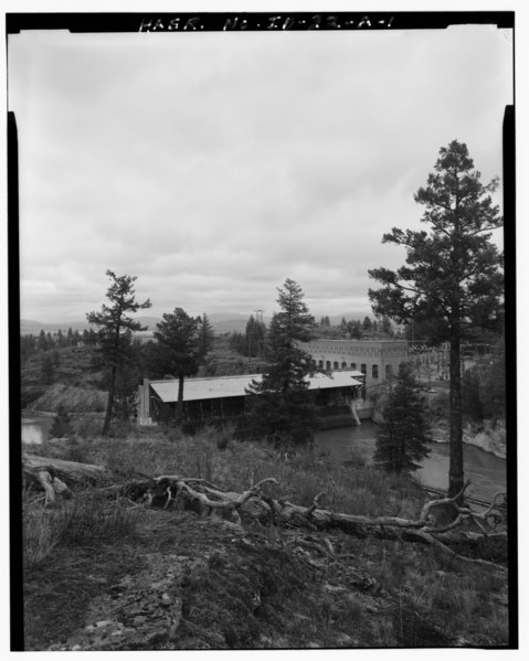
File:CONTEXTUAL VIEW OF THE POST FALLS POWERHOUSE LOOKING DOWNSTREAM. POWER PLANT AND INTAKE GATES ARE IN THE LEFT FOREGROUND, AND THE ATTACHED 'OLD SWITCHING BUILDING' (NOW ABANDONED HAER ID,28-POFAL,1A-1.tif
Size of this JPG preview of this TIF file: 479 × 599 pixels. Other resolutions: 192 × 240 pixels | 384 × 480 pixels | 614 × 768 pixels | 819 × 1,024 pixels | 1,638 × 2,048 pixels | 3,999 × 5,000 pixels.
Original file (3,999 × 5,000 pixels, file size: 19.07 MB, MIME type: image/tiff)
Captions
Captions
Add a one-line explanation of what this file represents
Summary edit
| Photographer |
Related names:
|
|||
| Title |
CONTEXTUAL VIEW OF THE POST FALLS POWERHOUSE LOOKING DOWNSTREAM. POWER PLANT AND INTAKE GATES ARE IN THE LEFT FOREGROUND, AND THE ATTACHED 'OLD SWITCHING BUILDING' (NOW ABANDONED) IS IN THE RIGHT BACKGROUND, LOOKING NORTHWEST. - Washington Water Power Company Post Falls Power Plant, Middle Channel Powerhouse and Dam, West of intersection of Spokane and Fourth Streets, Post Falls, Kootenai County, ID |
|||
| Depicted place | Idaho; Kootenai County; Post Falls | |||
| Date | Documentation compiled after 1968 | |||
| Dimensions | 4 x 5 in. | |||
| Current location |
Library of Congress Prints and Photographs Division Washington, D.C. 20540 USA http://hdl.loc.gov/loc.pnp/pp.print |
|||
| Accession number |
HAER ID,28-POFAL,1A-1 |
|||
| Credit line |
|
|||
| Notes |
|
|||
| Source | https://www.loc.gov/pictures/item/id0401.photos.318174p | |||
| Permission (Reusing this file) |
|

| Object location | | View this and other nearby images on: OpenStreetMap |
|---|
File history
Click on a date/time to view the file as it appeared at that time.
| Date/Time | Thumbnail | Dimensions | User | Comment | |
|---|---|---|---|---|---|
| current | 09:52, 15 July 2014 |  | 3,999 × 5,000 (19.07 MB) | Fæ (talk | contribs) | GWToolset: Creating mediafile for Fæ. HABS 11 July 2014 (1001:1200) |
You cannot overwrite this file.
File usage on Commons
The following page uses this file: