File:Calaisis 1360 map-ru.svg

Size of this PNG preview of this SVG file: 800 × 501 pixels. Other resolutions: 320 × 200 pixels | 640 × 401 pixels | 1,024 × 641 pixels | 1,280 × 802 pixels | 2,560 × 1,604 pixels | 1,424 × 892 pixels.
Original file (SVG file, nominally 1,424 × 892 pixels, file size: 773 KB)
Captions
Captions
Add a one-line explanation of what this file represents
Summary edit
| Description |
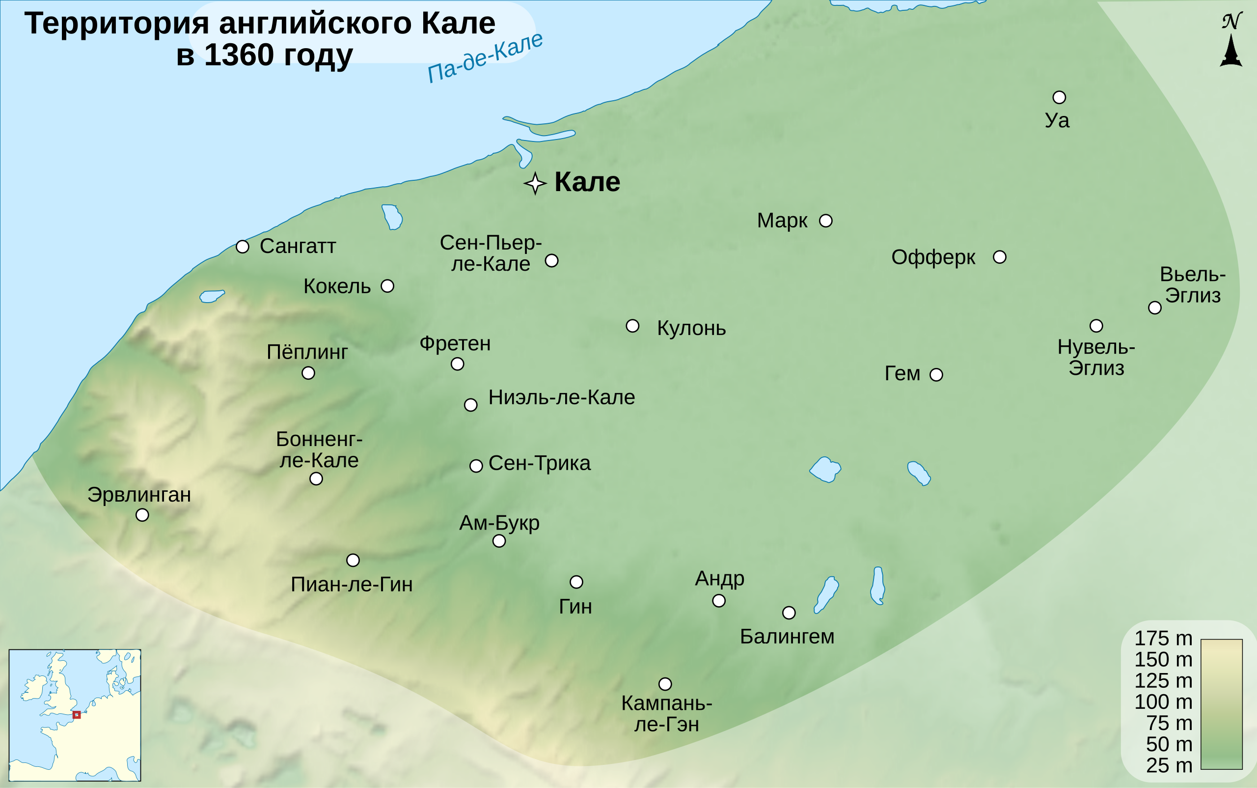
English: Map of the Pale of Calais, around the year 1360.
Français : Carte du Calaisis, à l'entour de l'an 1360.
Русский: Карта Английского Кале около 1360 года.
|
||
| Date | |||
| Source |
This file was derived from: Calaisis 1360 map-fr.svg
Softwares used:
Others:
|
||
| Author | Sémhur (original) Vladimir Solovjev (translate) | ||
| Other versions |
| ||
| Attribution (required by the license) | © Sémhur / Wikimedia Commons / | ||
| SVG | W3C-validity not checked.
|
||
| Graphic Lab |


| Camera location | | View this and other nearby images on: OpenStreetMap |
|---|
Licensing edit
I, the copyright holder of this work, hereby publish it under the following licenses:
| Copyleft: This work of art is free; you can redistribute it and/or modify it according to terms of the Free Art License. You will find a specimen of this license on the Copyleft Attitude site as well as on other sites. |
This file is licensed under the Creative Commons Attribution-Share Alike Attribution-Share Alike 4.0 International, 3.0 Unported, 2.5 Generic, 2.0 Generic and 1.0 Generic license.
- You are free:
- to share – to copy, distribute and transmit the work
- to remix – to adapt the work
- Under the following conditions:
- attribution – You must give appropriate credit, provide a link to the license, and indicate if changes were made. You may do so in any reasonable manner, but not in any way that suggests the licensor endorses you or your use.
- share alike – If you remix, transform, or build upon the material, you must distribute your contributions under the same or compatible license as the original.
You may select the license of your choice.
File history
Click on a date/time to view the file as it appeared at that time.
| Date/Time | Thumbnail | Dimensions | User | Comment | |
|---|---|---|---|---|---|
| current | 12:28, 11 January 2024 | | 1,424 × 892 (773 KB) | Vladimir Solovjev (talk | contribs) | == {{int:filedesc}} == {{Information |Description={{Multilingual description/start}} {{en|1=Map of the Pale of Calais, around the year 1360.}} {{fr|1=Carte du Calaisis, à l'entour de l'an 1360.}} {{ru|1=Карта Английского Кале около 1360 года.}} {{Multilingual description/end}} |Source={{derived from|Calaisis 1360 map-fr.svg}}<br /> Sources : * Background map: data from [http://www2.jpl.nasa.gov/srtm NASA Shuttle Radar Topography... |
You cannot overwrite this file.
File usage on Commons
The following page uses this file:
File usage on other wikis
The following other wikis use this file:
- Usage on ru.wikipedia.org