File:California Interstate 80.svg

Size of this PNG preview of this SVG file: 800 × 444 pixels. Other resolutions: 320 × 178 pixels | 640 × 356 pixels | 1,024 × 569 pixels | 1,280 × 711 pixels | 2,560 × 1,422 pixels | 1,152 × 640 pixels.
Original file (SVG file, nominally 1,152 × 640 pixels, file size: 631 KB)
Captions
Captions
Add a one-line explanation of what this file represents
Summary edit
| Description |
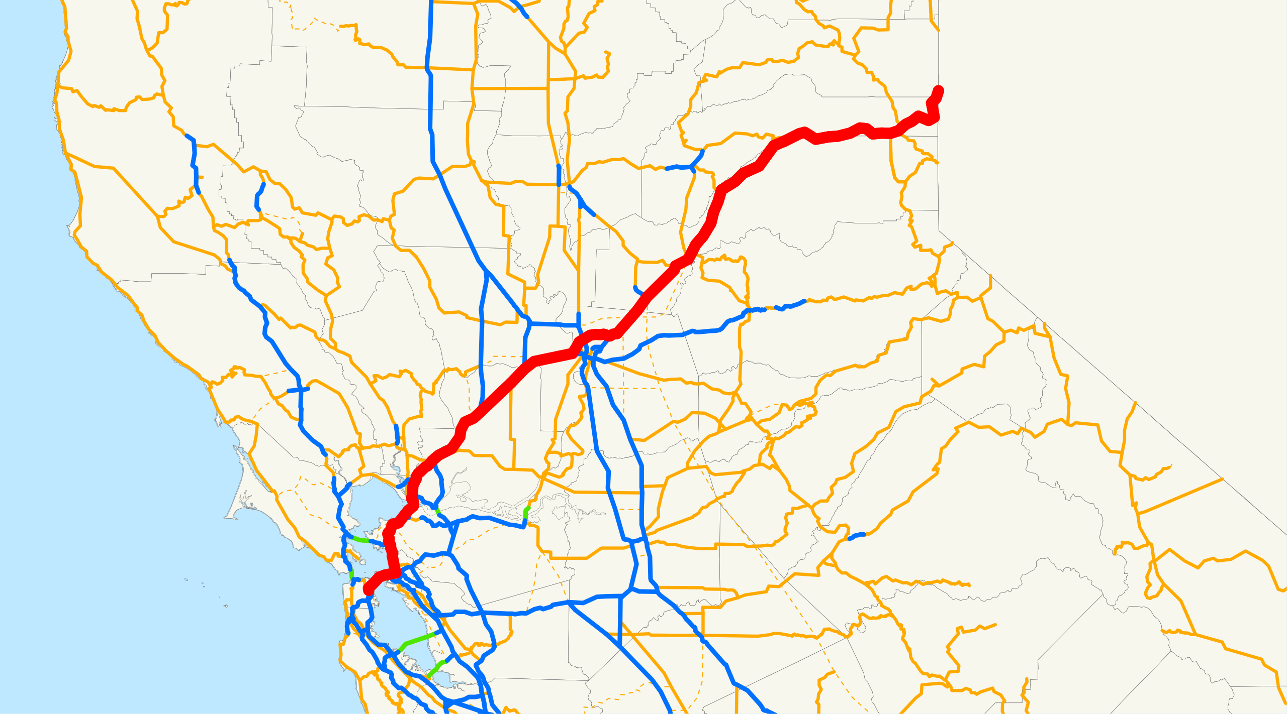
English: Map of Interstate 80 in California. The Interstate runs from the Bay Bridge in San Francisco, east through Sacramento and over the Sierra Nevada, to the Nevada border en route to Reno, Nevada. |
||
| Source | Email me if you would like a copy of the GIS data I created for the highways. | ||
| Author | NE2 (talk · contribs) | ||
| Permission (Reusing this file) |
|
Sources: BTS North American Transportation Atlas Data archive copy at the Wayback Machine, Caltrans State Truck Route List (XLS file), Caltrans Log of Bridges on State Highways, All Caltrans Traffic Volumes on CSHS, California State Legislature Definitions of Routes
File history
Click on a date/time to view the file as it appeared at that time.
| Date/Time | Thumbnail | Dimensions | User | Comment | |
|---|---|---|---|---|---|
| current | 18:25, 18 December 2007 | | 1,152 × 640 (631 KB) | NE2 (talk | contribs) | == Summary == This is a map of Interstate 80 in California. Email me if you would like a copy of the GIS data I created for the highways. Category:Interstate 80 in California [[Category:Maps of state highways in California|0 |
You cannot overwrite this file.
File usage on Commons
The following page uses this file:
File usage on other wikis
The following other wikis use this file:
- Usage on da.wikipedia.org
- Usage on es.wikipedia.org
- Usage on ru.wikipedia.org
- Usage on www.wikidata.org
- Usage on zh.wikipedia.org