File:California State Route 56.svg

Size of this PNG preview of this SVG file: 800 × 474 pixels. Other resolutions: 320 × 190 pixels | 640 × 380 pixels | 1,024 × 607 pixels | 1,280 × 759 pixels | 2,560 × 1,518 pixels | 1,027 × 609 pixels.
Original file (SVG file, nominally 1,027 × 609 pixels, file size: 505 KB)
Captions
Captions
Add a one-line explanation of what this file represents
Summary edit
| Description |
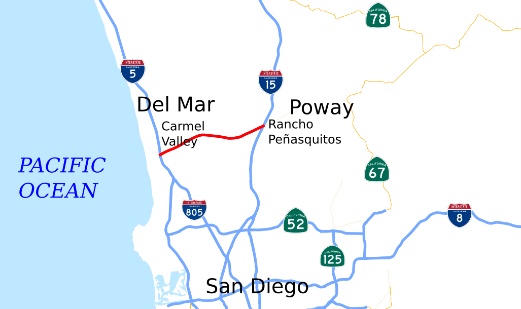
English: This is a map of State Route 56 in California, created in w:Quantum GIS. |
| Date | |
| Source | NHPN, California State GIS |
| Author | User:Rschen7754 |
Licensing edit
| I, the copyright holder of this work, release this work into the public domain. This applies worldwide. In some countries this may not be legally possible; if so: I grant anyone the right to use this work for any purpose, without any conditions, unless such conditions are required by law. |
File history
Click on a date/time to view the file as it appeared at that time.
| Date/Time | Thumbnail | Dimensions | User | Comment | |
|---|---|---|---|---|---|
| current | 06:07, 2 December 2012 | | 1,027 × 609 (505 KB) | Rschen7754 (talk | contribs) | crop, extension of SR 52 |
| 02:05, 16 November 2012 |  | 1,152 × 640 (261 KB) | Rschen7754 (talk | contribs) | fix | |
| 02:02, 16 November 2012 |  | 1,152 × 640 (262 KB) | Rschen7754 (talk | contribs) | fix | |
| 01:54, 16 November 2012 |  | 1,152 × 640 (262 KB) | Rschen7754 (talk | contribs) | text | |
| 02:19, 13 October 2012 |  | 1,152 × 640 (235 KB) | Rschen7754 (talk | contribs) | shields | |
| 17:47, 18 December 2007 |  | 1,152 × 640 (67 KB) | NE2 (talk | contribs) | == Summary == This is a map of State Route 56 in California, with unconstructed parts in purple. Email me if you would like a copy of the GIS data I created for the highways. Category:California State Route 56 [[Category:Map |
You cannot overwrite this file.
File usage on Commons
The following page uses this file:
File usage on other wikis
The following other wikis use this file:
- Usage on de.wikipedia.org
- Usage on es.wikipedia.org
- Usage on fr.wikipedia.org
- Usage on ta.wikipedia.org
- Usage on www.wikidata.org
- Usage on zh-min-nan.wikipedia.org
- Usage on zh.wikipedia.org