File:Camp at Night in the Juniper Dunes Wilderness (11519208786).jpg
Original file (5,184 × 3,456 pixels, file size: 4.59 MB, MIME type: image/jpeg)
Captions
Captions
Summary edit
.jpg&action=edit§ion=1)
| Description |
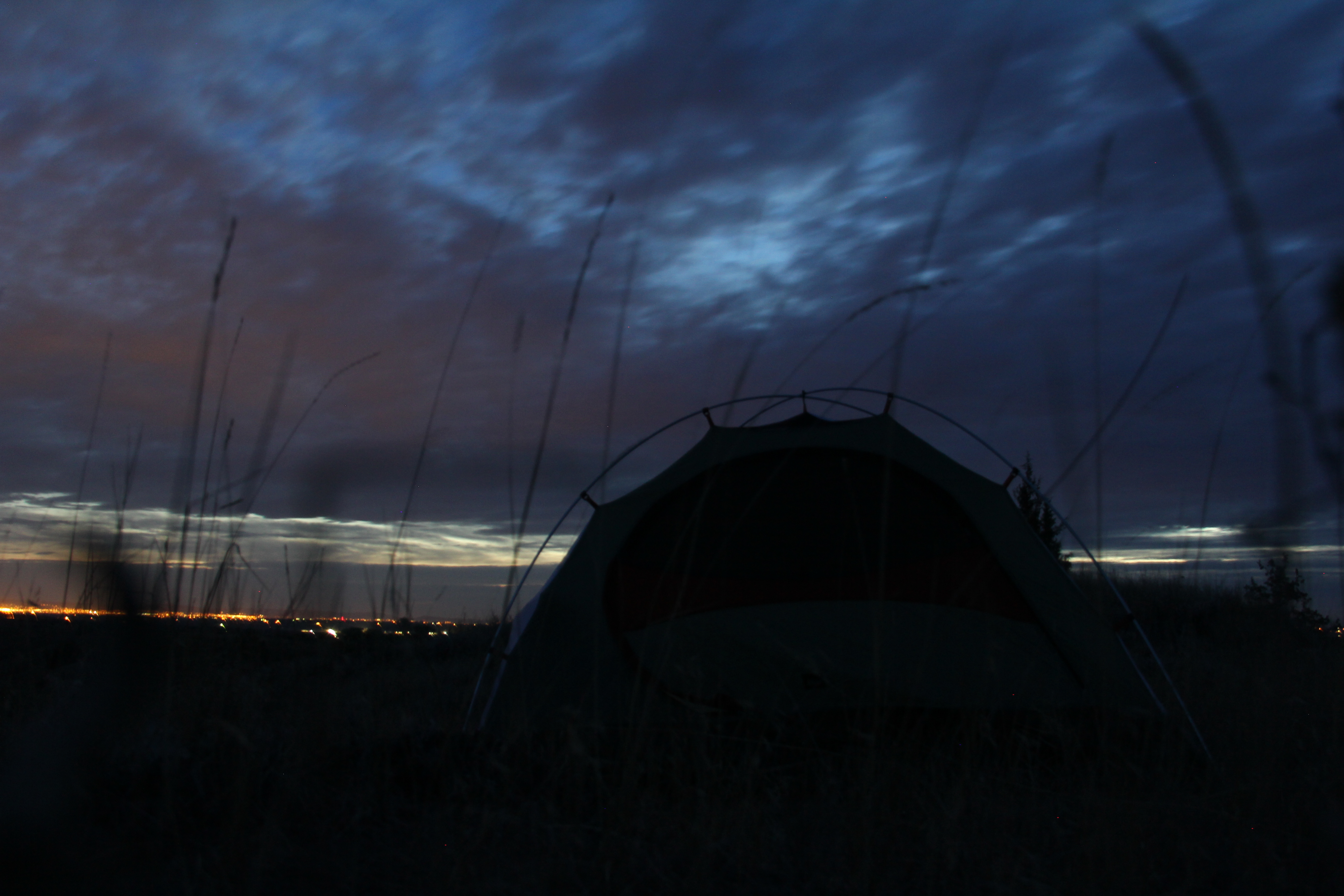
The United States Congress designated the Juniper Dunes Wilderness in 1984 and it now has over 7140 acres. The Juniper Dunes Wilderness preserves the northernmost growth of western juniper, some of which have been around for 150 years, along with windswept sand dunes measuring 130 feet in height and 1200 feet in width. Other than junipers, no trees grow in significant numbers here, but many bushes and flowers bloom wondrously come spring, although the mountains that separate western and eastern Washington generally wring the moisture from the air. The landscape here takes quite a battering; in fact, with strong southwest winds to build the dunes, seven to eight inches of precipitation to moisten them, a foot or so of snow that drifts down in winter, and summer temperatures that occasionally rise above 100 degrees Fahrenheit. Elevations range from 750 feet to 1,130 feet above sea level. But plenty of animals thrive despite the extremes: mule deer, bobcats, coyotes, badgers, skunks, weasels, porcupines, pocket gophers, kangaroo rats, several species of mice, hawks, owls, ravens, quail, partridge, pheasants, doves, numerous songbirds, and rattlesnakes. The entire wilderness is surrounded by privately-owned lands. With permission, you can travel via old jeep trails that end near the boundary. Getting all the way to the Wilderness gate can be risky business, even with a high clearance 4-wheel drive vehicle (highly recommended), and there is a significant risk of getting stuck in the loose sand of the last jeep trail, Wilderness Road, especially in warm months when there is little moisture in the sand. One option is to park at the Off-Highway Vehicle staging area on Juniper Road (also a jeep trail) and walk an additional +1 mile to the Wilderness Gate. This is absolutely necessary if you are pulling a trailer. You'll find no maintained trails and no water in the Wilderness, and backpackers and horseback riders should also be aware of the likelihood of large temperature variation for overnight stays. Be sure to contact the BLM's Spokane District for the latest conditions and access to the spectacular Juniper Dunes Wilderness Area! Directions: Wilderness visitors must pack in all drinking water and be prepared for large temperature swings. Proper sun protection such as a wide-brimmed hat is recommended, even in early spring and late fall, along with sun screen lotion. There are no sources of ground water in the Wilderness. Be aware that road access past the first "P" symbol (for "Parking") on the map when traveling northbound on Peterson Road (where Peterson Road ends and Juniper Dunes Road begins) is typically difficult due to loose sand road conditions and potentially some large roller-coaster like "whoops" in Juniper Dunes Road. Vehicle travel past this point normally requires, at a minimum, a high clearance vehicle, preferably 4-wheel-drive. It is recommended that visitors to the Wilderness park their vehicles no farther up Juniper Dunes Road than the upper off-highway vehicle (OHV) "Open" area parking/staging area (identified on the map with the 2nd "P" symbol and "?" symbol), which itself is loose sand, and therefore potentially a place where vehicles could get stuck. Access to the Wilderness Gate is via the one-mile stretch of Wilderness Road where it starts ¾ mile north past the upper parking/staging area off of Juniper Dunes Road. There is a Wilderness Road sign at that intersection but it is easy to miss. Travel on Wilderness Road requires a high clearance 4-wheel drive vehicle to reach the Wilderness Gate in the best of conditions, i.e. in late fall/ winter/early spring or soon after significant precipitation when the loose sand road has moisture and some compaction. As stated above it is recommended that people do not attempt turning off of Juniper Dunes Road onto Wilderness Road to access the Wilderness Gate, especially when sand conditions are dry. If you get seriously stuck it will be very difficult to get towed out. Vehicles pulling trailers should never attempt driving past the upper OHV "Open" area parking/staging area. Visitors to the Wilderness can hike or ride on horseback across the OHV "Open" area from the upper parking/staging area to the Wilderness, or via Wilderness Road to access the Wilderness Gate. The area is approximately seven miles northeast of Pasco, Washington. From Ritzville and Spokane, Washington: US 395 South to Pasco. Exit onto Hwy 12 East (towards Walla Walla). Just under 2 miles, exit onto Kahlotus Road (ramp north towards Kahlotus). Continue NE on the Kahlotus Road for approx 5 miles. Turn left onto Peterson Road. First 2 miles is Private Road.***Note: there is a huge yellow mailbox on the opposite side of Kahlotus Road at the entrance to Peterson Rd. Continue straight approx 4 miles on Peterson Road. At the Juniper Road intersection, turn right. Park in this area or continue for approximately 2 more miles. There is a second large parking area with a metal information Kiosk at this point; this puts you next to the play area dunes. Be aware of sandy conditions in this parking area. From here use an area map to get to the Wilderness Gate +1 mile away via Wilderness Road. Please sign in at the kiosk. Contact: BLM Spokane District Office 1103 N. Fancher Road Spokane, WA 99212 (509) 536-1200 <a href="https://www.blm.gov/visit" rel="nofollow">www.blm.gov/visit</a> |
| Date | |
| Source | Camp at Night in the Juniper Dunes Wilderness |
| Author | Bureau of Land Management Oregon and Washington from Portland, America |
| Camera location | | View this and other nearby images on: OpenStreetMap |
|---|
.jpg¶ms=046.363514_N_-118.873100_E_globe:Earth_type:camera_source:Flickr_&language=en)
Licensing edit
.jpg&action=edit§ion=2)
- You are free:
- to share – to copy, distribute and transmit the work
- to remix – to adapt the work
- Under the following conditions:
- attribution – You must give appropriate credit, provide a link to the license, and indicate if changes were made. You may do so in any reasonable manner, but not in any way that suggests the licensor endorses you or your use.
| This image was originally posted to Flickr by BLM Oregon & Washington at https://flickr.com/photos/50169152@N06/11519208786 (archive). It was reviewed on 18 November 2019 by FlickreviewR 2 and was confirmed to be licensed under the terms of the cc-by-2.0. |
File history
Click on a date/time to view the file as it appeared at that time.
| Date/Time | Thumbnail | Dimensions | User | Comment | |
|---|---|---|---|---|---|
| current | 04:19, 18 November 2019 | | 5,184 × 3,456 (4.59 MB) | Ser Amantio di Nicolao (talk | contribs) | Transferred from Flickr via #flickr2commons |
You cannot overwrite this file.
File usage on Commons
There are no pages that use this file.
.jpg&oldid=846754058)