File:Canada provinces-blank CSS-map green.svg

Size of this PNG preview of this SVG file: 617 × 599 pixels. Other resolutions: 247 × 240 pixels | 494 × 480 pixels | 791 × 768 pixels | 1,054 × 1,024 pixels | 2,108 × 2,048 pixels | 978 × 950 pixels.
Original file (SVG file, nominally 978 × 950 pixels, file size: 64 KB)
Captions
Captions
Add a one-line explanation of what this file represents
Summary edit
| Description |
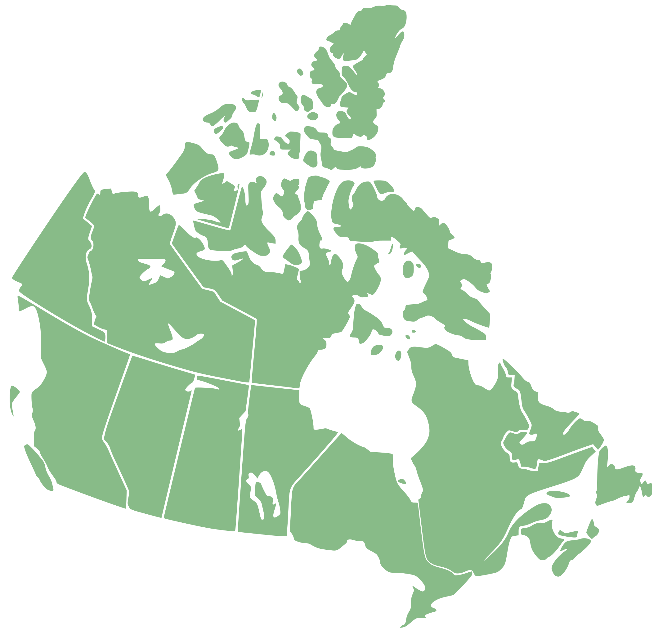
English: This blank map is a derivative of the previous Canada_provinces-blank-map_XMLcomments-CSSclasses-SVGids_green.svg and is cleaned up so that CSS sections are directly usable without code modification, the map is coloured green as demonstration of CSS coding, for text editing editors may see usage |
| Date | |
| Source | en:Wikipedia talk:Images for upload/svg/Canada provinces-blank CSS-map green.svg |
| Author | 70.29.212.226 derived from file:Canada_provinces-blank-map_XMLcomments-CSSclasses-SVGids_green.svg |
to provide an SVG map that contains in code XML comments describing sections, so can be editted through a text editor, and SVG id tags that are names, and have CSS class ids suitable for CSS use
Licensing edit
I, the copyright holder of this work, hereby publish it under the following licenses:

|
Permission is granted to copy, distribute and/or modify this document under the terms of the GNU Free Documentation License, Version 1.2 or any later version published by the Free Software Foundation; with no Invariant Sections, no Front-Cover Texts, and no Back-Cover Texts. A copy of the license is included in the section entitled GNU Free Documentation License. |
This file is licensed under the Creative Commons Attribution-Share Alike 3.0 Unported license.
- You are free:
- to share – to copy, distribute and transmit the work
- to remix – to adapt the work
- Under the following conditions:
- attribution – You must give appropriate credit, provide a link to the license, and indicate if changes were made. You may do so in any reasonable manner, but not in any way that suggests the licensor endorses you or your use.
- share alike – If you remix, transform, or build upon the material, you must distribute your contributions under the same or compatible license as the original.
You may select the license of your choice.
File history
Click on a date/time to view the file as it appeared at that time.
| Date/Time | Thumbnail | Dimensions | User | Comment | |
|---|---|---|---|---|---|
| current | 06:37, 20 June 2009 | | 978 × 950 (64 KB) | Graeme Bartlett (talk | contribs) | {{Information |Description={{en|1=This blank map is a derivative of the previous Canada_provinces-blank-map_XMLcomments-CSSclasses-SVGids_green.svg and is cleaned up so that CSS sections are directly usable without code modification, the map is coloured g |
You cannot overwrite this file.
File usage on Commons
There are no pages that use this file.