File:Canarias-loc.svg

Size of this PNG preview of this SVG file: 512 × 277 pixels. Other resolutions: 320 × 173 pixels | 640 × 346 pixels | 1,024 × 554 pixels | 1,280 × 693 pixels | 2,560 × 1,385 pixels.
Original file (SVG file, nominally 512 × 277 pixels, file size: 3.09 MB)
Captions
Captions
Add a one-line explanation of what this file represents
Summary edit
This locator map was created with Inkscape.
| Description |
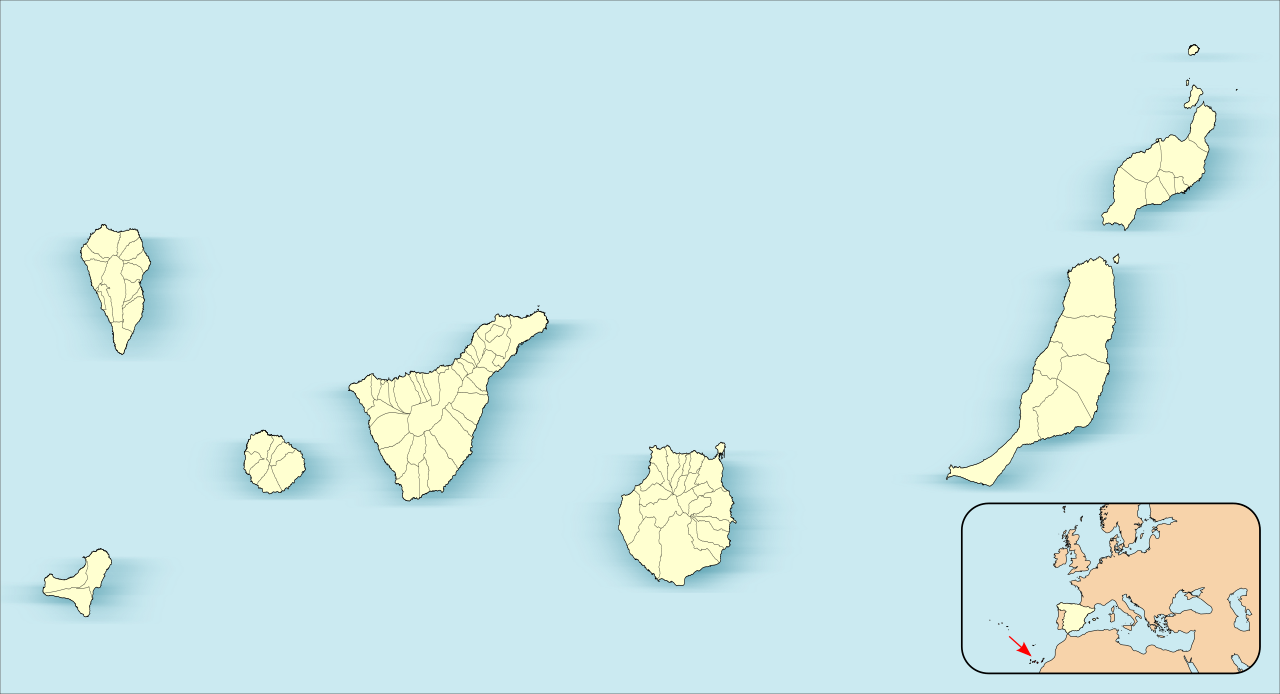
English: Location map of Canary Islands
Equirectangular projection, N/S stretching 130 %. Geographic limits of the map:
Español: Mapa de localización de las Islas Canarias
Proyección equirrectangular (cilíndrica equidistante), N/S estirada 130 %. Límites geográficos del mapa:
|
| Date | |
| Source | Own work based on: EspañaLoc.svg by HansenBCN |
| Author | Miguillen |
|
This map has been made or improved in the Spanish Taller de Cartografía (Map Lab). You can propose maps to improve as well.
|
Licensing edit
Miguillen, the copyright holder of this work, hereby publishes it under the following license:
This file is licensed under the Creative Commons Attribution-Share Alike 3.0 Unported license.
Attribution: Miguillen
- You are free:
- to share – to copy, distribute and transmit the work
- to remix – to adapt the work
- Under the following conditions:
- attribution – You must give appropriate credit, provide a link to the license, and indicate if changes were made. You may do so in any reasonable manner, but not in any way that suggests the licensor endorses you or your use.
- share alike – If you remix, transform, or build upon the material, you must distribute your contributions under the same or compatible license as the original.
File history
Click on a date/time to view the file as it appeared at that time.
| Date/Time | Thumbnail | Dimensions | User | Comment | |
|---|---|---|---|---|---|
| current | 17:27, 3 June 2012 | | 512 × 277 (3.09 MB) | Miguillen (talk | contribs) | |
| 16:26, 3 June 2012 |  | 512 × 264 (3.1 MB) | Miguillen (talk | contribs) | ||
| 15:58, 3 June 2012 |  | 512 × 264 (3.1 MB) | Miguillen (talk | contribs) | actualizo | |
| 15:39, 21 November 2010 |  | 512 × 290 (130 KB) | Miguillen (talk | contribs) | Estiro un 130% | |
| 17:40, 18 November 2010 |  | 512 × 223 (76 KB) | Miguillen (talk | contribs) | amplio área | |
| 17:39, 18 November 2010 | 512 × 192 (83 KB) | Miguillen (talk | contribs) | == {{int:filedesc}} == {{Information |Description={{en|Location map of Canary Island}} Equirectangular projection, N/S stretching 130 %. Geographic limits of the map: * N: ° N * S: ° N * W: ° O * E: ° O {{es|Mapa de localiza |
You cannot overwrite this file.
File usage on Commons
There are no pages that use this file.
File usage on other wikis
The following other wikis use this file:
- Usage on an.wikipedia.org
- Las Palmas de Gran Canaria
- Santa Cruz de Tenerife
- San Cristóbal de La Laguna
- Valverde (El Hierro)
- Gran Canaria Arena
- Pabillón Insular Santiago Martín
- Granadilla de Abona
- Plantilla:Mapa de localización Islas Canarias
- Adeje
- Agulo
- Arafo
- Arona
- Candelaria (Tenerife)
- Barlovento (Santa Cruz de Tenerife)
- Breña Alta
- Breña Baja
- El Paso
- Santa Cruz de La Palma
- San Sebastián de la Gomera
- Alajeró
- Arico
- Buenavista del Norte
- Fuencaliente de la Palma
- Icod de los Vinos
- La Orotava
- Puerto de la Cruz
- Tazacorte
- Tijarafe
- La Matanza de Acentejo
- La Victoria de Acentejo
- Santiago del Teide
- El Sauzal
- Tacoronte
- El Tanque
- Tegueste
- Valle Gran Rey
- Villa de Mazo
- Fasnia
- Garachico
- Los Llanos de Aridane
- Puntallana
- La Frontera (El Hierro)
- Garafía
- La Guancha
- Guía de Isora
- Güímar
- Hermigua
- El Pinar de El Hierro
- Puntagorda
- Los Realejos
View more global usage of this file.