File:Canton de Nantes(Position).png
No higher resolution available.
Canton_de_Nantes(Position).png (418 × 314 pixels, file size: 38 KB, MIME type: image/png)
Captions
Captions
Add a one-line explanation of what this file represents
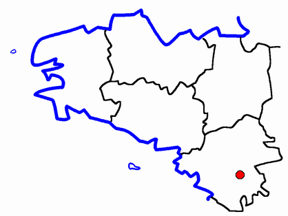
| Description | Map for localisazion of cantons Pays-de-Loire, region in France | ||
| Date | |||
| Source | Own work | ||
| Author | É. L. | ||
| Permission (Reusing this file) |
|

| Annotations | This image is annotated: View the annotations at Commons |
.png)
File history
Click on a date/time to view the file as it appeared at that time.
| Date/Time | Thumbnail | Dimensions | User | Comment | |
|---|---|---|---|---|---|
| current | 22:09, 7 February 2007 | | 418 × 314 (38 KB) | Bastique (talk | contribs) | Rétablissement de la version précédente |
| 18:17, 5 February 2007 |  | 548 × 507 (13 KB) | Bastique (talk | contribs) | Rétablissement de la version précédente | |
| 18:15, 5 February 2007 |  | 418 × 314 (38 KB) | Bastique (talk | contribs) | Rétablissement de la version précédente | |
| 17:43, 5 February 2007 |  | 548 × 507 (13 KB) | Moa mrick (talk | contribs) | Rétablissement de la version précédente | |
| 22:15, 4 February 2007 |  | 418 × 314 (38 KB) | Yun (talk | contribs) | Reverted to earlier revision | |
| 21:00, 4 February 2007 |  | 548 × 507 (13 KB) | Moa mrick (talk | contribs) | Rétablissement de la version précédente | |
| 18:56, 3 February 2007 |  | 418 × 314 (38 KB) | Yun (talk | contribs) | Reverted to earlier revision | |
| 21:45, 20 August 2006 |  | 548 × 507 (13 KB) | Moa mrick (talk | contribs) | ||
| 21:43, 20 August 2006 |  | 548 × 507 (13 KB) | Moa mrick (talk | contribs) | Map for localisazion of cantons Pays-de-Loire, region in France | |
| 18:45, 25 April 2005 |  | 418 × 314 (38 KB) | TigH (talk | contribs) | '''Description:''' Map for localisazion of cantons of Bretagne, (now Pays-de-Loire), region in France '''Source:''' made by Hervé Tigier in april 2005 from another large map (published in 1990) {{PD}} [[Category:Cant |
You cannot overwrite this file.
File usage on Commons
The following 2 pages use this file:
File usage on other wikis
The following other wikis use this file:
- Usage on br.wikipedia.org
- Usage on ca.wikipedia.org
- Usage on de.wikipedia.org
- Usage on www.wikidata.org
.png&oldid=847541243)