File:CapeYorkPeninsulaMap 1 0.svg

Size of this PNG preview of this SVG file: 519 × 600 pixels. Other resolutions: 208 × 240 pixels | 415 × 480 pixels | 665 × 768 pixels | 886 × 1,024 pixels | 1,773 × 2,048 pixels | 2,131 × 2,462 pixels.
Original file (SVG file, nominally 2,131 × 2,462 pixels, file size: 123 KB)
Captions
Captions
Add a one-line explanation of what this file represents
Summary edit
| Description |
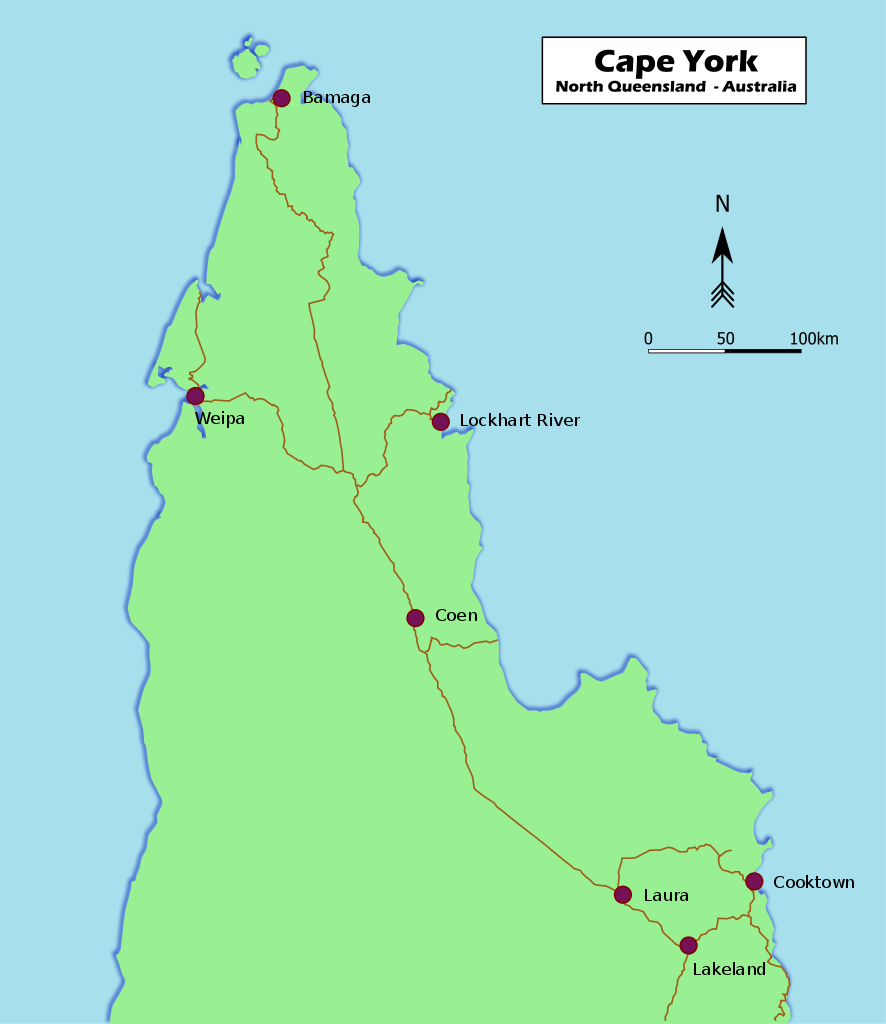
English: Map of Cape York Peninsula in Far North Queensland, Australia
Français : Carte de la péninsule de Cape York au nord de l'état du Queensland en Australie |
| Date | |
| Source | Own work (also available on http://www.nactuslair.com/) |
| Author | Nactus' Lair |
| Other versions |
[]
|


Licensing edit
| I, the copyright holder of this work, release this work into the public domain. This applies worldwide. In some countries this may not be legally possible; if so: I grant anyone the right to use this work for any purpose, without any conditions, unless such conditions are required by law. |
File history
Click on a date/time to view the file as it appeared at that time.
| Date/Time | Thumbnail | Dimensions | User | Comment | |
|---|---|---|---|---|---|
| current | 03:59, 7 June 2010 | | 2,131 × 2,462 (123 KB) | Nactus' Lair (talk | contribs) | {{Information |Description={{en|1=Map of Cape York Peninsula in Far North Queensland, Australia}} {{fr|1=Carte de la péninsule de Cape York au nord de l'état du Queensland en Australie}} |Source={{own}} (also available on http://nactuslair.arnogou.com/) |
You cannot overwrite this file.
File usage on Commons
The following 4 pages use this file:
File usage on other wikis
The following other wikis use this file:
- Usage on ar.wikipedia.org
- Usage on az.wikipedia.org
- Usage on eo.wikipedia.org
- Usage on es.wikipedia.org
- Usage on et.wikipedia.org
- Usage on fi.wikipedia.org
- Usage on fr.wikipedia.org
- Usage on id.wikipedia.org
- Usage on it.wikipedia.org
- Usage on la.wikipedia.org
- Usage on lt.wikipedia.org
- Usage on nl.wikipedia.org
- Usage on oc.wikipedia.org
- Usage on pt.wikipedia.org
- Usage on simple.wikipedia.org
- Usage on sv.wikipedia.org
- Usage on sw.wikipedia.org
- Usage on uk.wikipedia.org
- Usage on vi.wikipedia.org
- Usage on war.wikipedia.org