File:CarteCouserans.png

Size of this preview: 759 × 599 pixels. Other resolutions: 304 × 240 pixels | 608 × 480 pixels | 973 × 768 pixels | 1,280 × 1,011 pixels | 1,717 × 1,356 pixels.
Original file (1,717 × 1,356 pixels, file size: 220 KB, MIME type: image/png)
Captions
Captions
Add a one-line explanation of what this file represents
Summary edit
| Description |
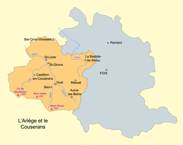
English: geographic map of Couserans (dark yellow) and Ariege (dark yellow and grey).
Français : Carte géographique du Couserans (en jaune foncé) et de l'Ariège (jaune foncé et gris). |
| Date | |
| Source | Own work |
| Author | Basilus |
Licensing edit
| I, the copyright holder of this work, release this work into the public domain. This applies worldwide. In some countries this may not be legally possible; if so: I grant anyone the right to use this work for any purpose, without any conditions, unless such conditions are required by law. |
File history
Click on a date/time to view the file as it appeared at that time.
| Date/Time | Thumbnail | Dimensions | User | Comment | |
|---|---|---|---|---|---|
| current | 14:33, 22 October 2007 | | 1,717 × 1,356 (220 KB) | Basilus (talk | contribs) | {{Information |Description=geographic map of Ariege and Couserans |Source=own work |Date=22 Octobre 2007 |Author=Basilus |Permission= |other_versions= }} |
You cannot overwrite this file.
File usage on Commons
There are no pages that use this file.
File usage on other wikis
The following other wikis use this file:
- Usage on an.wikipedia.org
- Usage on ca.wikipedia.org
- Usage on de.wikipedia.org
- Usage on en.wikipedia.org
- Usage on es.wikipedia.org
- Usage on fa.wikipedia.org
- Usage on fr.wikipedia.org
- Usage on fr.wiktionary.org
- Usage on it.wikipedia.org
- Usage on nl.wikipedia.org
- Usage on oc.wikipedia.org
- Usage on pl.wikipedia.org
- Usage on zh.wikipedia.org