File:Carte de la Souveraineté de Dombes Et frontière de Bresse Augmentée et corrigée de nouveau - 1640.jpg

Size of this preview: 798 × 600 pixels. Other resolutions: 320 × 240 pixels | 639 × 480 pixels | 1,022 × 768 pixels | 1,280 × 962 pixels | 2,560 × 1,924 pixels | 5,604 × 4,211 pixels.
Original file (5,604 × 4,211 pixels, file size: 9.39 MB, MIME type: image/jpeg)
Captions
Captions
Add a one-line explanation of what this file represents
Summary edit
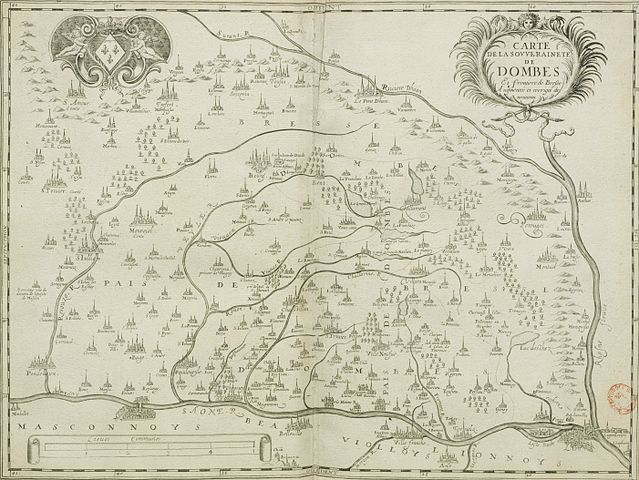
| Carte de la Souveraineté de Dombes Et frontière de Bresse Augmentée et corrigée de nouveau.
( |
|||||||||||||||||||||||||||
|---|---|---|---|---|---|---|---|---|---|---|---|---|---|---|---|---|---|---|---|---|---|---|---|---|---|---|---|
| Artist |
Unknown author |
||||||||||||||||||||||||||
| Title |
Carte de la Souveraineté de Dombes Et frontière de Bresse Augmentée et corrigée de nouveau. |
||||||||||||||||||||||||||
| Description |
Français : Carte de la Souveraineté de Dombes Et frontière de Bresse Augmentée et corrigée de nouveau. |
||||||||||||||||||||||||||
| Date | 1640 | ||||||||||||||||||||||||||
| Collection |
|
||||||||||||||||||||||||||
| Source/Photographer |
Bibliothèque nationale de France |
||||||||||||||||||||||||||

Licensing edit
| Previous public domain rationale, no longer applicable | ||
|---|---|---|
|
File history
Click on a date/time to view the file as it appeared at that time.
| Date/Time | Thumbnail | Dimensions | User | Comment | |
|---|---|---|---|---|---|
| current | 03:36, 16 December 2013 | | 5,604 × 4,211 (9.39 MB) | -revi (talk | contribs) | Cropped 5 % horizontally and 5 % vertically using CropTool with lossless mode. |
| 16:34, 28 October 2013 |  | 5,881 × 4,441 (8.86 MB) | Rexcornot (talk | contribs) | {{crop}} =={{int:filedesc}}== {{LargeImage}} {{Artwork | artist = ? | title = Carte de la Souveraineté de Dombes Et frontière de Bresse Augmentée et corrigée de nouveau. | description = {{fr|Carte de la Souveraineté de Do... |
You cannot overwrite this file.
File usage on Commons
The following page uses this file: