File:Carte postale - Suresnes - La rue des Radiguelles, ligne (chemin de fer) de l'Ouest-Etat - 9FI-SUR 64.jpg

Size of this preview: 800 × 529 pixels. Other resolutions: 320 × 212 pixels | 640 × 423 pixels | 1,024 × 677 pixels | 1,280 × 846 pixels | 2,560 × 1,692 pixels | 3,535 × 2,337 pixels.
Original file (3,535 × 2,337 pixels, file size: 1.21 MB, MIME type: image/jpeg)
Captions
Captions
Add a one-line explanation of what this file represents
Summary
edit| Français : Carte postale des Hauts-de-Seine
( |
|
|---|---|
| Photographer |
Unknown author |
| Title |
Français : Carte postale des Hauts-de-Seine |
| Description |
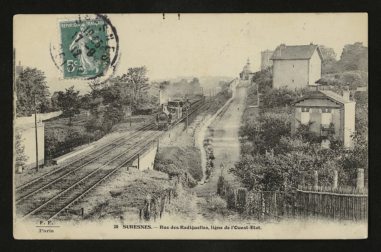
Français : La rue des Radiguelles, ligne (chemin de fer) de l'Ouest-Etat |
| Date | 1900 |
| Collection | |
| Accession number |
9FI/SUR_64 |
| Source | https://opendata.hauts-de-seine.fr/explore/dataset/cartes-postales/information/ |

_de_l%27Ouest-Etat_-_9FI-SUR_64.jpg&action=edit§ion=1)
| Object location | | View this and other nearby images on: OpenStreetMap |
|---|
_de_l%27Ouest-Etat_-_9FI-SUR_64.jpg¶ms=048.868834_N_0002.219485_E_globe:Earth_class:object_type:object__&language=en)
Licensing
edit_de_l%27Ouest-Etat_-_9FI-SUR_64.jpg&action=edit§ion=2)
| This file is licensed under the Licence Ouverte 1.0 (License text, English license text).
|
File history
Click on a date/time to view the file as it appeared at that time.
| Date/Time | Thumbnail | Dimensions | User | Comment | |
|---|---|---|---|---|---|
| current | 08:30, 12 October 2020 | | 3,535 × 2,337 (1.21 MB) | Pyb (talk | contribs) | pattypan 20.04 |
You cannot overwrite this file.
File usage on Commons
The following 3 pages use this file:
_de_l%27Ouest-Etat_-_9FI-SUR_64.jpg)
File usage on other wikis
The following other wikis use this file:
- Usage on fr.wikipedia.org
_de_l%27Ouest-Etat_-_9FI-SUR_64.jpg&oldid=877462298)