File:Carte vigilance meteo france 07 janvier 2010 16h00.svg

Size of this PNG preview of this SVG file: 507 × 553 pixels. Other resolutions: 220 × 240 pixels | 440 × 480 pixels | 704 × 768 pixels | 939 × 1,024 pixels | 1,878 × 2,048 pixels.
Original file (SVG file, nominally 507 × 553 pixels, file size: 580 KB)
Captions
Captions
Add a one-line explanation of what this file represents
Summary edit
| Description |
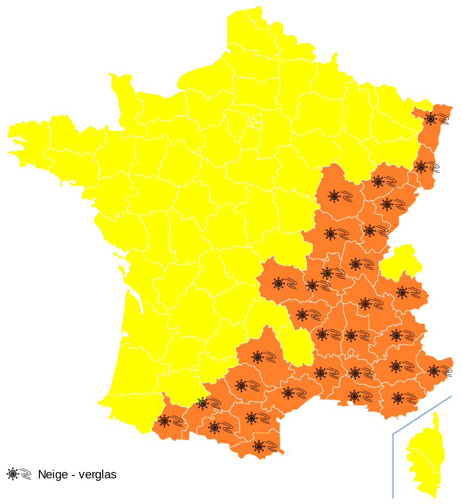
Français : Carte de vigilance météo pour la France le 8 janvier 2009 |
| Date | |
| Source |
Travail personnel (own work) basé sur la carte fournie par Météo-France. Elle est une œuvre dérivée de [[:File:{{subst:#switch:1|#default=Départements de France-simple.svg|1=Départements de France-simple.svg|2=France_map_Lambert-93_topographic-blank.svg}}]] |
| Author | Grondin |
Licensing edit
| I, the copyright holder of this work, release this work into the public domain. This applies worldwide. In some countries this may not be legally possible; if so: I grant anyone the right to use this work for any purpose, without any conditions, unless such conditions are required by law. |
File history
Click on a date/time to view the file as it appeared at that time.
| Date/Time | Thumbnail | Dimensions | User | Comment | |
|---|---|---|---|---|---|
| current | 20:38, 7 January 2010 | | 507 × 553 (580 KB) | Grondin (talk | contribs) | {{Information |Description={{fr|1=Carte de vigilance météo pour la France le 8 janvier 2009}} |Source={{User:Grondin/meteo|1}} |Author=Grondin |Date=2010-01-07 |Permission= |other_versions= }} Category:Meteorological maps of France |
You cannot overwrite this file.
File usage on Commons
There are no pages that use this file.
File usage on other wikis
The following other wikis use this file:
- Usage on fr.wikipedia.org
- Usage on fr.wikinews.org