File:Caucasus 1090 AC ka alt.svg

Size of this PNG preview of this SVG file: 771 × 599 pixels. Other resolutions: 309 × 240 pixels | 618 × 480 pixels | 988 × 768 pixels | 1,280 × 995 pixels | 2,560 × 1,990 pixels | 1,155 × 898 pixels.
Original file (SVG file, nominally 1,155 × 898 pixels, file size: 4.51 MB)
Captions
Captions
Add a one-line explanation of what this file represents
| Description |
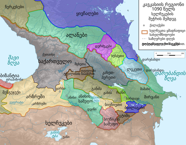
English: Map of Caucasus Region around 1090 AC in Georgian.
ქართული: კავკასიის რუკა 1090 წელს |
| Date | 2 October 2010 (upload date) |
| Source | Own work by uploader, derivate of File:Caucasus_topographic_map-fr.svg |
| Author | Don-kun, თემური |
| Permission (Reusing this file) |
Own work, attribution required (Multi-license with GFDL and Creative Commons CC-BY 3.0) |
| Other versions |
 |
I, the copyright holder of this work, hereby publish it under the following licenses:

|
Permission is granted to copy, distribute and/or modify this document under the terms of the GNU Free Documentation License, Version 1.2 or any later version published by the Free Software Foundation; with no Invariant Sections, no Front-Cover Texts, and no Back-Cover Texts. A copy of the license is included in the section entitled GNU Free Documentation License. |
This file is licensed under the Creative Commons Attribution 3.0 Unported license.
- You are free:
- to share – to copy, distribute and transmit the work
- to remix – to adapt the work
- Under the following conditions:
- attribution – You must give appropriate credit, provide a link to the license, and indicate if changes were made. You may do so in any reasonable manner, but not in any way that suggests the licensor endorses you or your use.
You may select the license of your choice.
File history
Click on a date/time to view the file as it appeared at that time.
| Date/Time | Thumbnail | Dimensions | User | Comment | |
|---|---|---|---|---|---|
| current | 14:58, 25 February 2020 | | 1,155 × 898 (4.51 MB) | Don-kun (talk | contribs) | Reverted to version as of 17:39, 2 October 2010 (UTC) |
| 21:09, 18 February 2020 |  | 1,155 × 898 (4.51 MB) | Takhirgeran Umar (talk | contribs) | об | |
| 17:39, 2 October 2010 |  | 1,155 × 898 (4.51 MB) | თეკა (talk | contribs) | {{Information |Description={{en|1=Map of Caucasus Region around 1090 AC in Georgian.}} {{ka|1=კავკასიის რუკა 1090 წელს}} |Source=Own work by uploader, derivate of http://commons.wikimedia.org/wiki/File:Caucasus_topographi |
You cannot overwrite this file.
File usage on Commons
The following page uses this file:
File usage on other wikis
The following other wikis use this file:
- Usage on ka.wikipedia.org