File:Cavanaugh Bridge southern end.jpg

Size of this preview: 450 × 600 pixels. Other resolutions: 180 × 240 pixels | 360 × 480 pixels | 576 × 768 pixels | 768 × 1,024 pixels | 2,112 × 2,816 pixels.
Original file (2,112 × 2,816 pixels, file size: 3.23 MB, MIME type: image/jpeg)
Captions
Captions
Add a one-line explanation of what this file represents
| Camera location | | View this and other nearby images on: OpenStreetMap |
|---|
| Description |
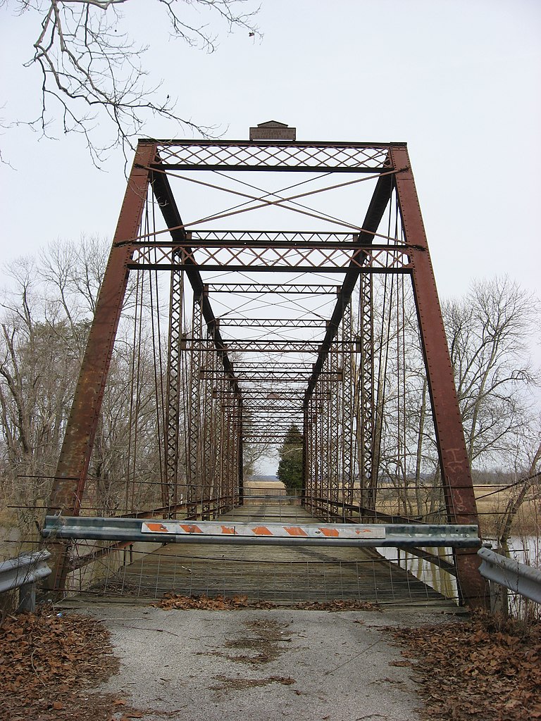
English: Southern end of the Cavanaugh Bridge, which formerly carried County Road 550W over the Muscatatuck River south of Brownstown over the border between Jackson and Washington counties in the U.S. state of Indiana. Built in 1899, it is listed on the National Register of Historic Places. |
||
| Date | Taken on 3 March 2010 | ||
| Source | Own work | ||
| Author | Nyttend | ||
| Permission (Reusing this file) |
|
File history
Click on a date/time to view the file as it appeared at that time.
| Date/Time | Thumbnail | Dimensions | User | Comment | |
|---|---|---|---|---|---|
| current | 14:05, 18 March 2011 | | 2,112 × 2,816 (3.23 MB) | Nyttend (talk | contribs) | {{Location|38|45|48|N|86|8|12|W}} {{Information |Description={{en|Southern end of the {{w|Cavanaugh Bridge}}, which formerly carried County Road 550W over the {{w|Muscatatuck River}} south of {{w|Brownstown, Indiana|Brownstown}} over the border between {{ |
You cannot overwrite this file.
File usage on Commons
There are no pages that use this file.