File:Chandler Mill Bridge.JPG
Size of this preview: 800 × 480 pixels. Other resolutions: 320 × 192 pixels | 1,024 × 614 pixels | 1,280 × 768 pixels | 2,560 × 1,536 pixels | 3,966 × 2,379 pixels.
Original file (3,966 × 2,379 pixels, file size: 4.51 MB, MIME type: image/jpeg)
Captions
Captions
Add a one-line explanation of what this file represents
|
This is an image of a place or building that is listed on the National Register of Historic Places in the United States of America. Its reference number is 9001213. |
Summary edit
| Description |
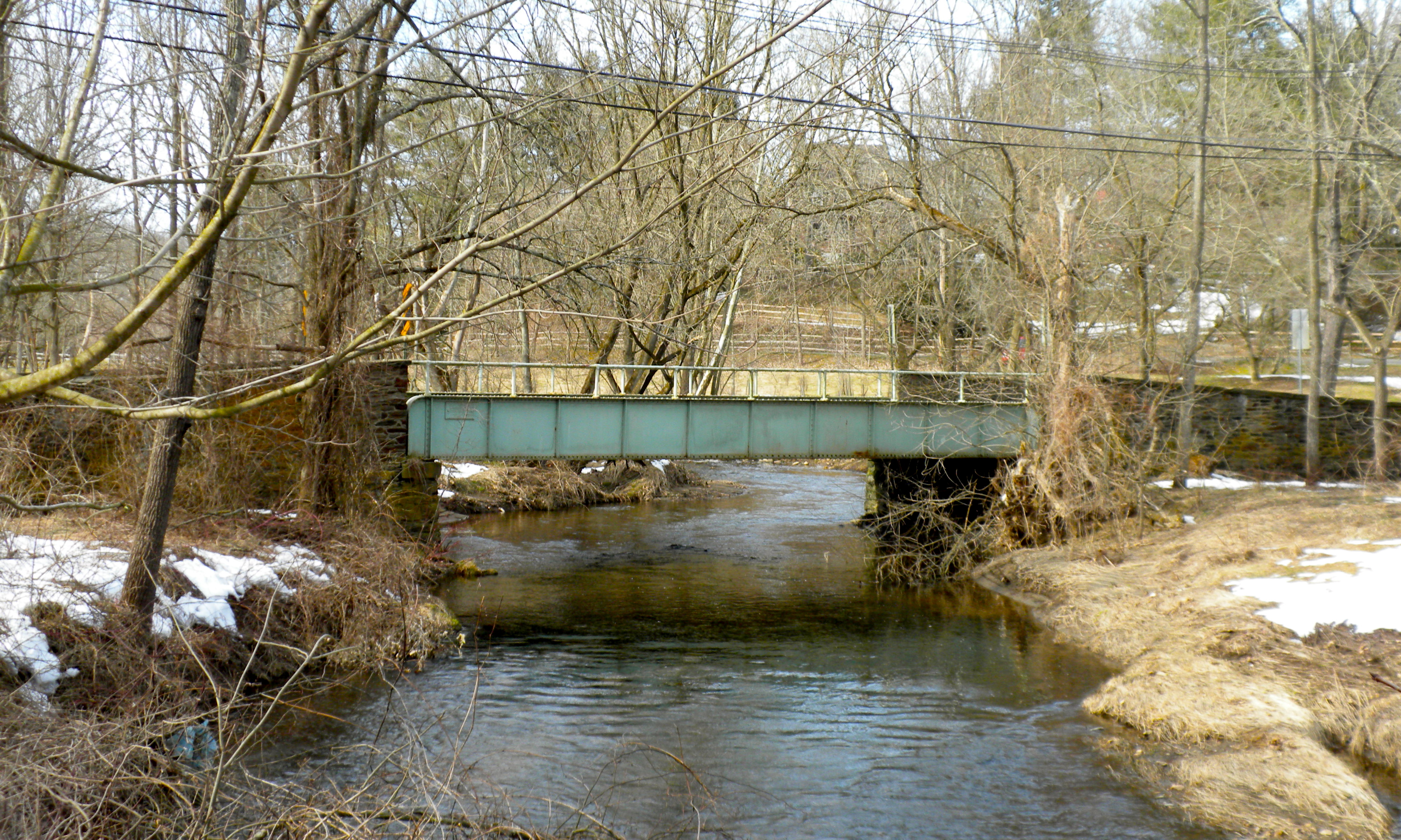
English: Chandler Mill Bridge, newly added to NRHP on January 11, 2010. At Chandler Mill Road over the West Branch of Red Clay Creek in Kennett Township, Chester County, Pennsylvania. Built 1910 according to plaque on side of bridge, which also gives "George Dole, Cont." and "N.R. Rambo GO Eng." Now removed from road use and made a pedestrian bridge. |
| Date | |
| Source | Own work |
| Author | Smallbones |
| Camera location | | View this and other nearby images on: OpenStreetMap |
|---|
Licensing edit
| I, the copyright holder of this work, release this work into the public domain. This applies worldwide. In some countries this may not be legally possible; if so: I grant anyone the right to use this work for any purpose, without any conditions, unless such conditions are required by law. |
File history
Click on a date/time to view the file as it appeared at that time.
| Date/Time | Thumbnail | Dimensions | User | Comment | |
|---|---|---|---|---|---|
| current | 22:20, 4 March 2010 | | 3,966 × 2,379 (4.51 MB) | Smallbones (talk | contribs) | {{Information |Description={{en|1=Chandler Mill Bridge, newly added to NRHP on January 11, 2010. At Chandler Mill Road over the West Branch of Red Clay Creek in Kennett Township, Chester County, Pennsylvania. It is still scheduled for demolition! built |
You cannot overwrite this file.
File usage on Commons
There are no pages that use this file.
File usage on other wikis
The following other wikis use this file:
- Usage on en.wikipedia.org
- Usage on www.wikidata.org