File:Charbonnage de Basse Ransy - 03.jpg
Size of this preview: 800 × 532 pixels. Other resolutions: 320 × 213 pixels | 640 × 426 pixels | 1,024 × 681 pixels | 1,280 × 851 pixels | 2,560 × 1,702 pixels | 6,016 × 4,000 pixels.
Original file (6,016 × 4,000 pixels, file size: 11.99 MB, MIME type: image/jpeg)
Captions
Captions
Add a one-line explanation of what this file represents
| Camera location | | View this and other nearby images on: OpenStreetMap |
|---|
| Description |
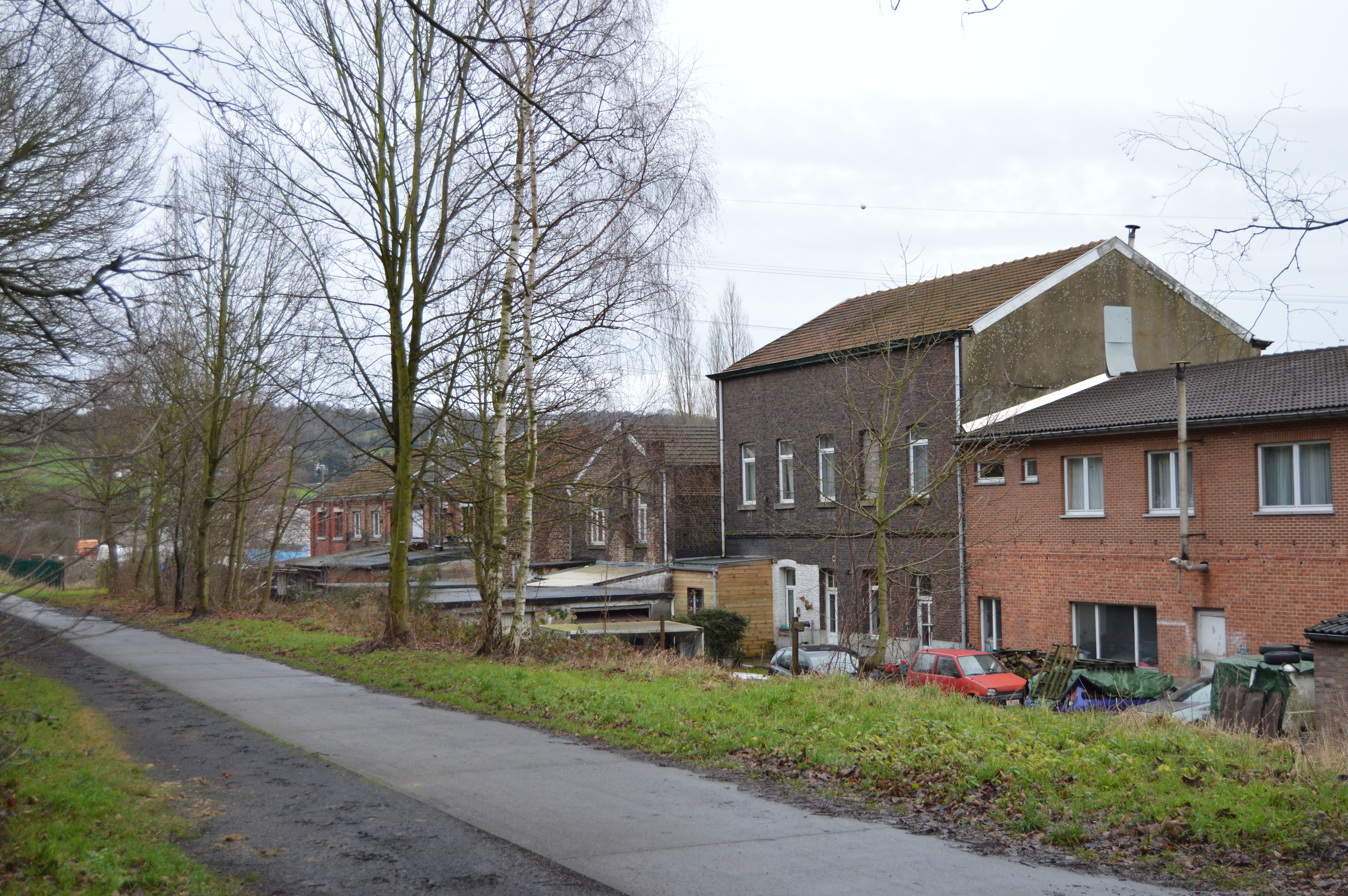
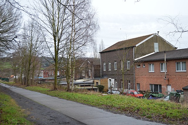
Français : Ancien batiment (le plus haut) du charbonnage de Basse Ransy à fr:Vaux-sous-Chèvremont, Belgique. Il est visble à droite sur la photo ancienne (prise de coté rue, actuelle rue des Haisses, n°58) figurant ici : http://www.usines.be/terril-basse-ransy/
English: Ancient building (the highest one)the Basse Ransy coal mine in Vaux-sous-Chèvremont, Belgium. It can be seen on the right side of this ancient picture : http://www.usines.be/terril-basse-ransy/ |
||
| Date | |||
| Source | Own work | ||
| Author | Utilisateur:Bel Adone | ||
| Permission (Reusing this file) |
|
File history
Click on a date/time to view the file as it appeared at that time.
| Date/Time | Thumbnail | Dimensions | User | Comment | |
|---|---|---|---|---|---|
| current | 14:57, 3 January 2014 | | 6,016 × 4,000 (11.99 MB) | Vberger~commonswiki (talk | contribs) | {{Location|50|36|37|N|5|37|50|E|alt:0_source:exif_heading:?}} {{Information |Description= {{fr|Ancien batiment du charbonnage de Basse Ransy à fr:Vaux-sous-Chèvremont, Belgique}} {{en|Ancient building the Basse Ransy coal mine in Vaux-sous-Ch... |
You cannot overwrite this file.
File usage on Commons
The following page uses this file:
File usage on other wikis
The following other wikis use this file:
- Usage on de.wikipedia.org
- Usage on fr.wikipedia.org
- Usage on nl.wikipedia.org
- Usage on www.wikidata.org