File:Chesapeake Bay watershed, Del., D.C., Md., N.Y., Pa., Va., and W.V. LOC 85693191.tif

Size of this JPG preview of this TIF file: 507 × 599 pixels. Other resolutions: 203 × 240 pixels | 406 × 480 pixels | 650 × 768 pixels | 866 × 1,024 pixels | 1,732 × 2,048 pixels | 7,728 × 9,136 pixels.
Original file (7,728 × 9,136 pixels, file size: 202 MB, MIME type: image/tiff)
Captions
Captions
Add a one-line explanation of what this file represents
Summary edit
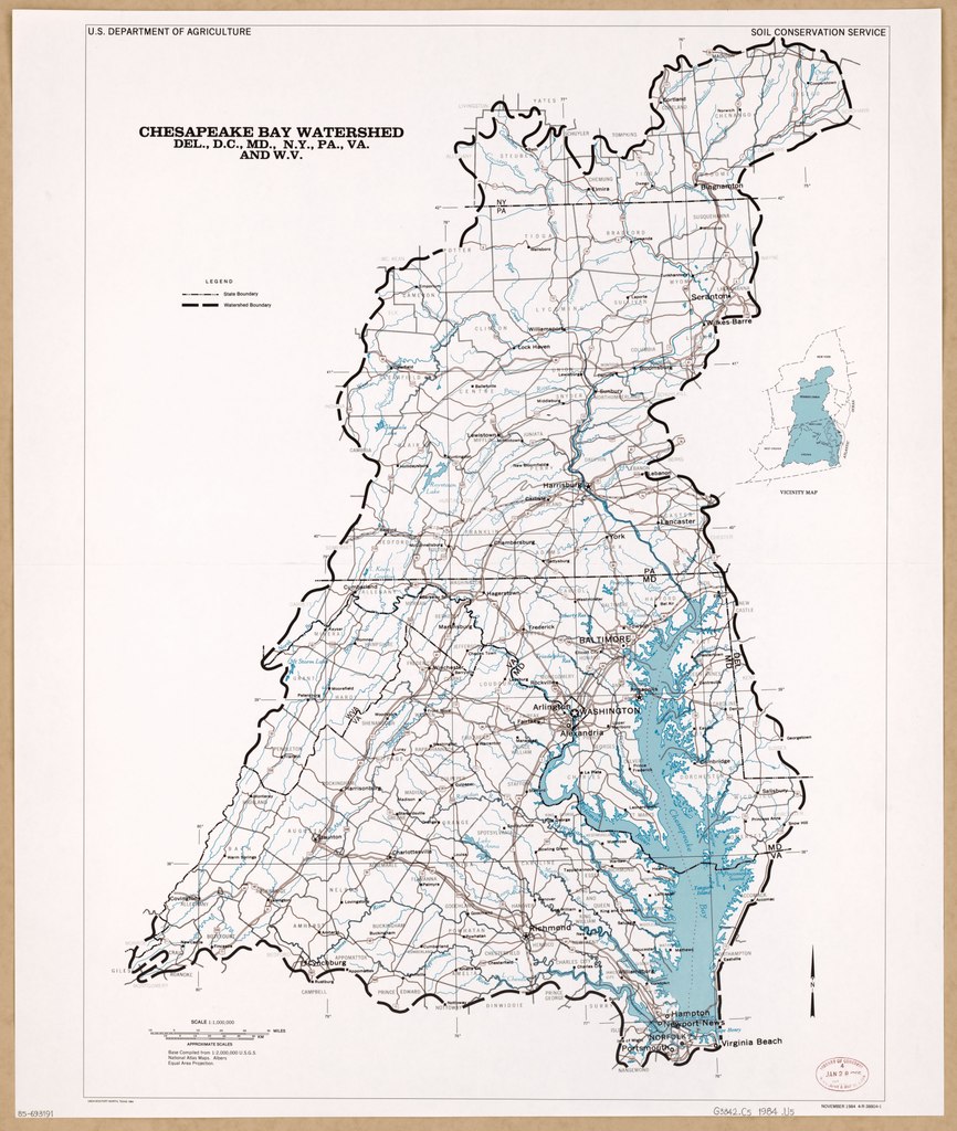
| Description |
English: "November 1984 4-R-38804-1." Includes notes and location map. Available also through the Library of Congress Web site as a raster image. |
||
| Title | Chesapeake Bay watershed, Del., D.C., Md., N.Y., Pa., Va., and W.V. | ||
| Shelf ID | G3842.C5 1984 .U5 | ||
| Date | |||
| Source | https://www.loc.gov/item/85693191/ | ||
| Author | United States. Soil Conservation Service | ||
| Permission (Reusing this file) |
|
||
| Other versions |
|
||
| Location | Chesapeake Bay Watershed · Chesapeake Bay Watershed. · Pennsylvania · Delaware · Virginia · United States · District Of Columbia · West Virginia · Maryland · New York (State) | ||
| Part of | American Memory · Catalog · Geography And Map Division · Additional Conservation And Environment Cartographic Items | ||
| Subject | Chesapeake Bay Watershed · Pennsylvania · Delaware · Virginia · United States · Maps · District Of Columbia · West Virginia · Maryland · New York (State) |


Licensing edit
| This work is from the Library of Congress. According to the library, there are no known copyright restrictions on the use of this work. |  |
File history
Click on a date/time to view the file as it appeared at that time.
| Date/Time | Thumbnail | Dimensions | User | Comment | |
|---|---|---|---|---|---|
| current | 18:52, 23 August 2018 |  | 7,728 × 9,136 (202 MB) | Fæ (talk | contribs) | LOC Maps https://www.loc.gov/item/85693191/ #3794 |
You cannot overwrite this file.
File usage on Commons
The following page uses this file: