File:ChinaLoc.png
No higher resolution available.
ChinaLoc.png (800 × 558 pixels, file size: 170 KB, MIME type: image/png)
Captions
Captions
Add a one-line explanation of what this file represents
Summary edit
| Description |
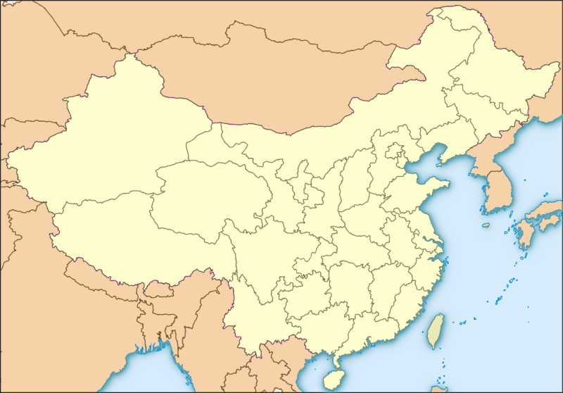
English: Map of China, originally in the equirectangular projection (equidistant cylindrical projection, or plate carrée), but stretched vetically 1,2 times (for better appearance). Made for Template:Location map. Cropped by 1 degree lines (73° - 135° E, 18° - 54° N).
Español: Mapa de China, originalmente en proyección cilíndrica equidistante pero estirada verticalmente 1,2 veces (para mejorar apariencia). Diseñado para Plantilla:Mapa de localización. Recortado una linea de grado (73° - 135° E, 18° - 54° N).
外国 - Foreign countries - Extranjero
大陆 - Mainland China - China Continental
台湾 - Taiwan - Taiwán |
| Date | |
| Source | adapted from File:LocationmapChina.png + colour scheme from file:EspañaLoc.svg |
| Author | Koryakov Yuri adapted by Blofeld |
| Other versions | Derivative works of this file: Huazhong China.png |
Licensing edit
I, the copyright holder of this work, hereby publish it under the following licenses:

|
Permission is granted to copy, distribute and/or modify this document under the terms of the GNU Free Documentation License, Version 1.2 or any later version published by the Free Software Foundation; with no Invariant Sections, no Front-Cover Texts, and no Back-Cover Texts. A copy of the license is included in the section entitled GNU Free Documentation License. |
This file is licensed under the Creative Commons Attribution-Share Alike Attribution-Share Alike 4.0 International, 3.0 Unported, 2.5 Generic, 2.0 Generic and 1.0 Generic license.
- You are free:
- to share – to copy, distribute and transmit the work
- to remix – to adapt the work
- Under the following conditions:
- attribution – You must give appropriate credit, provide a link to the license, and indicate if changes were made. You may do so in any reasonable manner, but not in any way that suggests the licensor endorses you or your use.
- share alike – If you remix, transform, or build upon the material, you must distribute your contributions under the same or compatible license as the original.
You may select the license of your choice.
File history
Click on a date/time to view the file as it appeared at that time.
| Date/Time | Thumbnail | Dimensions | User | Comment | |
|---|---|---|---|---|---|
| current | 19:44, 19 March 2010 | | 800 × 558 (170 KB) | Serg!o (talk | contribs) | Map of China, originally in the equirectangular projection (equidistant cylindrical projection, or plate carrée), but stretched vetically 1,2 times (for better appearance). Cropped by 1 degree lines (73° - 135° E, |
You cannot overwrite this file.
File usage on Commons
The following page uses this file:
File usage on other wikis
The following other wikis use this file:
- Usage on az.wikipedia.org
- Usage on ku.wiktionary.org