File:Chojna location map.png

Size of this preview: 633 × 600 pixels. Other resolutions: 253 × 240 pixels | 507 × 480 pixels | 811 × 768 pixels | 1,081 × 1,024 pixels | 1,403 × 1,329 pixels.
Original file (1,403 × 1,329 pixels, file size: 460 KB, MIME type: image/png)
Captions
Captions
Add a one-line explanation of what this file represents
Summary edit
| Description |
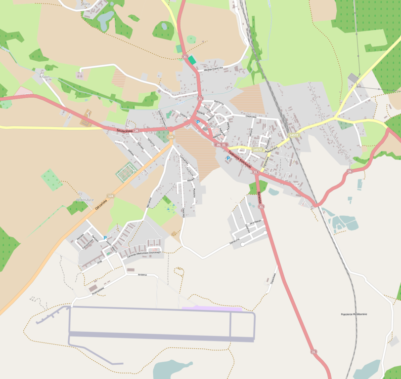
English: OpenStreetMap location map of Chojna, Poland
|
| Date | |
| Source | OpenStreetMap |
| Author | OpenStreetMap contributors |
Licensing edit
| This work contains information from OpenStreetMap, which is made available under the Open Database License (ODbL).
The ODbL does not require any particular license for maps produced from ODbL data. Prior to 1 August 2020, map tiles produced by the OpenStreetMap Foundation were licensed under the CC-BY-SA-2.0 license. Maps produced by other people may be subject to other licences. |
File history
Click on a date/time to view the file as it appeared at that time.
| Date/Time | Thumbnail | Dimensions | User | Comment | |
|---|---|---|---|---|---|
| current | 00:00, 9 January 2013 | | 1,403 × 1,329 (460 KB) | Kenraiz (talk | contribs) | User created page with UploadWizard |
You cannot overwrite this file.
File usage on Commons
There are no pages that use this file.
File usage on other wikis
The following other wikis use this file:
- Usage on pl.wikipedia.org
- Chojna (stacja kolejowa)
- Wilkoszyce
- Krupin (Chojna)
- Cmentarz żydowski w Chojnie
- Ratusz w Chojnie
- Kościół Mariacki w Chojnie
- Parafia Świętej Trójcy w Chojnie
- Parafia Najświętszego Serca Pana Jezusa w Chojnie
- Parafia Najświętszej Maryi Panny Matki Kościoła w Chojnie
- Kościół św. Marka w Chojnie
- Kościół Świętej Trójcy w Chojnie
- Kościół Najświętszego Serca Pana Jezusa w Chojnie
- Brama Świecka w Chojnie
- Platan Olbrzym
- Moduł:Mapa/dane/Chojna
- Cmentarz Żołnierzy Radzieckich w Chojnie
- Plac Konstytucji 3 Maja w Chojnie
- Usage on pl.wikibooks.org
- Usage on pt.wikipedia.org