File:Chomutov District 2010 CV CZ.png

Size of this preview: 558 × 600 pixels. Other resolutions: 223 × 240 pixels | 447 × 480 pixels | 900 × 967 pixels.
Original file (900 × 967 pixels, file size: 35 KB, MIME type: image/png)
Captions
Captions
Add a one-line explanation of what this file represents
| Description |
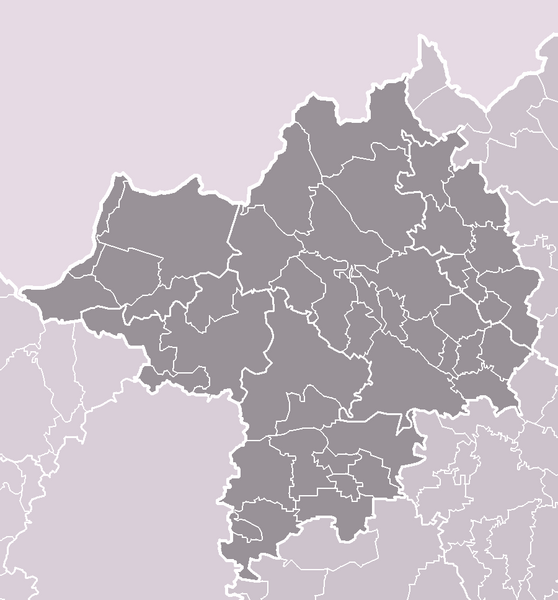
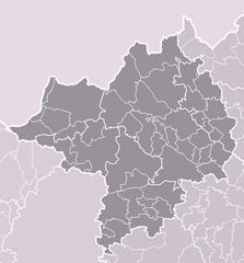
Čeština: Vymezení okresu Chomutov platné k roku 2010 (44 obcí). Bílé linie o různé tloušťce představují hranice obcí, správních obvodů, okresů, krajů a států.
English: Extent of Chomutov District as of 2010 (44 municipalities in total). White lines of variable thickness show boundaries of municipalities, administrative areas, districts, regions and nations. |
| Date | |
| Source | Self drawn, with Portál veřejné správy České republiky as main source of information |
| Author | User:Miaow Miaow |
| Permission (Reusing this file) |
PD-self |
| Other versions |
|


Licensing edit
| I, the copyright holder of this work, release this work into the public domain. This applies worldwide. In some countries this may not be legally possible; if so: I grant anyone the right to use this work for any purpose, without any conditions, unless such conditions are required by law. |
File history
Click on a date/time to view the file as it appeared at that time.
| Date/Time | Thumbnail | Dimensions | User | Comment | |
|---|---|---|---|---|---|
| current | 02:20, 30 March 2010 | | 900 × 967 (35 KB) | Miaow Miaow (talk | contribs) | {{Information |Description={{cs|Vymezení '''okresu Chomutov''' platné k roku 2010 (44 obcí). Bílé linie o různé tloušťce představují hranice obcí, správních obvodů, okresů, krajů a států.}} {{en|Extent of [[:en:Ch |
You cannot overwrite this file.
File usage on Commons
The following 3 pages use this file: