File:Clear Air Force Station dome LOC haer 193504.jpg
Size of this preview: 782 × 600 pixels. Other resolutions: 313 × 240 pixels | 626 × 480 pixels | 1,002 × 768 pixels | 1,280 × 982 pixels | 2,560 × 1,963 pixels | 4,746 × 3,640 pixels.
Original file (4,746 × 3,640 pixels, file size: 3.07 MB, MIME type: image/jpeg)
Captions
Captions
Add a one-line explanation of what this file represents
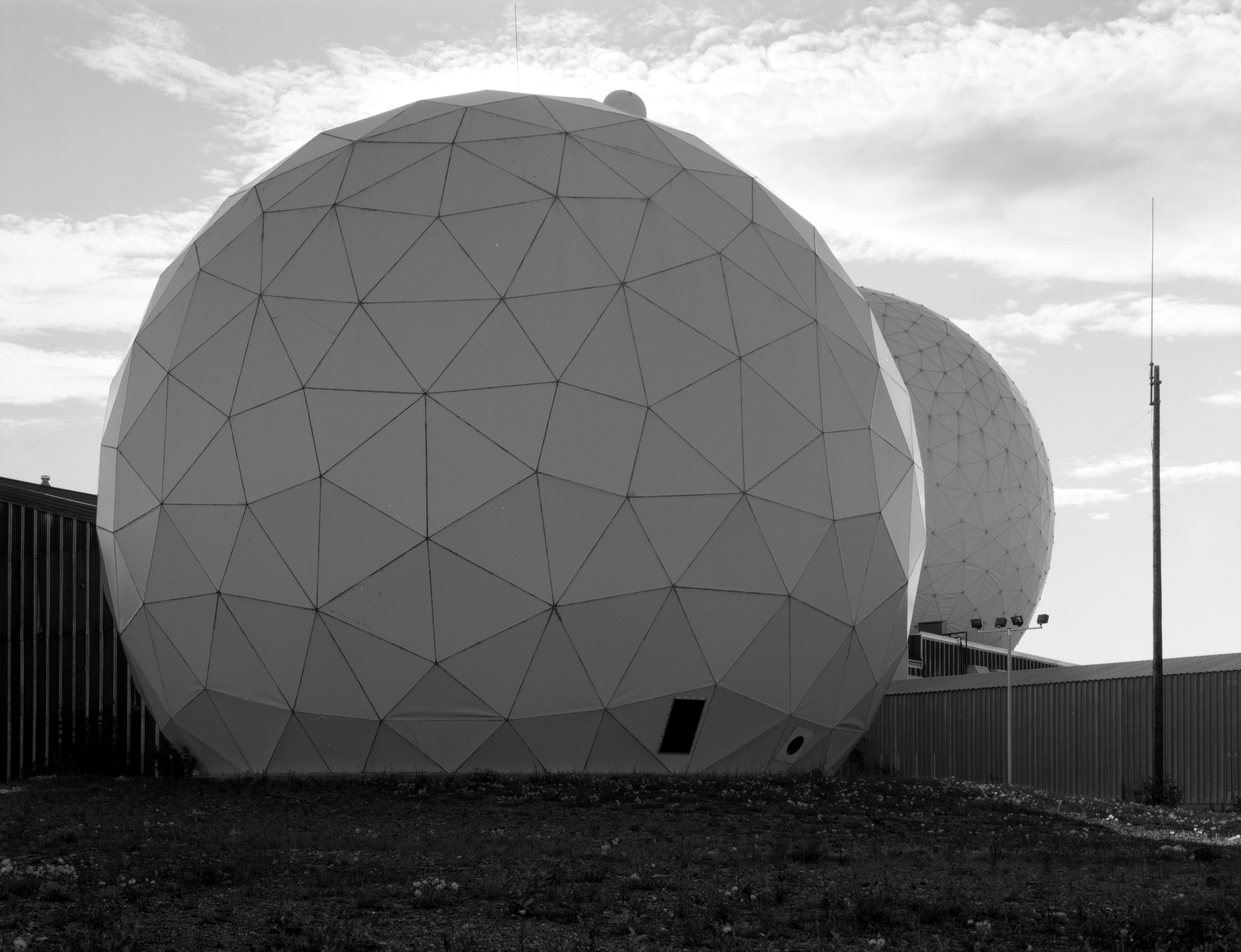
| Description | Clear Air Force Station, Ballistic Missile Early Warning System Site II, One mile west of mile marker 293.5 on Parks Highway, Anderson vicinity, AK Photo 19. View of satcom communication dome with TR radome in background right. | ||||
| Source |
|
||||
| Author | Historic American Engineering Record | ||||
| Permission (Reusing this file) |
|

File history
Click on a date/time to view the file as it appeared at that time.
| Date/Time | Thumbnail | Dimensions | User | Comment | |
|---|---|---|---|---|---|
| current | 03:00, 9 February 2009 | | 4,746 × 3,640 (3.07 MB) | Balcer~commonswiki (talk | contribs) | Clear Air Force Station, Ballistic Missile Early Warning System Site II, One mile west of mile marker 293.5 on Parks Highway, Anderson vicinity, AK Photo 19. View of satcom communication dome with TR radome in background right. {{LOC-image|id=hhh.ak0486 |
You cannot overwrite this file.
File usage on Commons
There are no pages that use this file.