File:Comacchio 10.JPG

Size of this preview: 800 × 600 pixels. Other resolutions: 320 × 240 pixels | 640 × 480 pixels | 1,024 × 768 pixels | 1,280 × 960 pixels | 2,560 × 1,920 pixels | 2,880 × 2,160 pixels.
Original file (2,880 × 2,160 pixels, file size: 1.71 MB, MIME type: image/jpeg)
Captions
Captions
Add a one-line explanation of what this file represents
Summary edit
| Description |
עברית: קומצ'יו - עיר בשפך נהר הפו |
| Date | |
| Source | Own work |
| Author | Daniel Ventura |
| Camera location | | View this and other nearby images on: OpenStreetMap |
|---|
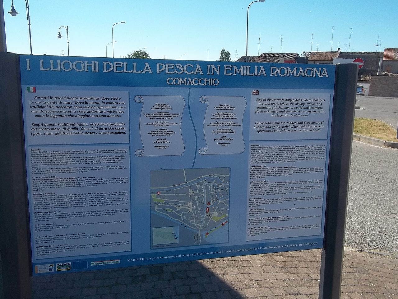
different islets, joined by bridges. The most important resources of these wetlands are the fish farming and the salt ponds. The seaport of Porto Garibaldi lies 7 km to the east. The wetlands south of the town, the Valli di Comacchio, are classified as a Site of Community Importance and a Special Protection Area in Italy.[1] They are also rated internationally important by the Ramsar Convention for the conservation and sustainable utilization of wetlands.[2]
Licensing edit
I, the copyright holder of this work, hereby publish it under the following license:
This file is licensed under the Creative Commons Attribution-Share Alike 3.0 Unported license.
- You are free:
- to share – to copy, distribute and transmit the work
- to remix – to adapt the work
- Under the following conditions:
- attribution – You must give appropriate credit, provide a link to the license, and indicate if changes were made. You may do so in any reasonable manner, but not in any way that suggests the licensor endorses you or your use.
- share alike – If you remix, transform, or build upon the material, you must distribute your contributions under the same or compatible license as the original.
File history
Click on a date/time to view the file as it appeared at that time.
| Date/Time | Thumbnail | Dimensions | User | Comment | |
|---|---|---|---|---|---|
| current | 02:26, 12 February 2014 | | 2,880 × 2,160 (1.71 MB) | Daniel Ventura (talk | contribs) | User created page with UploadWizard |
You cannot overwrite this file.
File usage on Commons
There are no pages that use this file.