File:Corsica and Sardinia. Balearic Islands. Valetta, the Capital of the Island of Malta (1831).jpg
Original file (1,536 × 1,359 pixels, file size: 288 KB, MIME type: image/jpeg)
Captions
Captions
Summary edit
| Description |
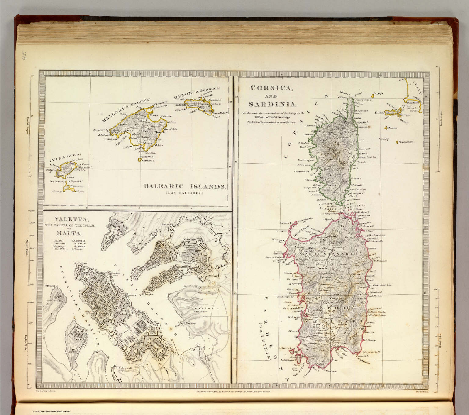
English: Corsica and Sardinia. Balearic Islands. Valetta, the Capital of the Island of Malta (1831) Author: Society for the Diffusion of Useful Knowledge (Great Britain) Full Title: Corsica and Sardinia. Published under the superintendence of the Society for the Diffusion of Useful Knowledge. (with) Belearic Islands. Las Baleares. (with) Valetta, the capital of the island of Malta. J. & C. Walker sc. Published Novr. 1st. 1831, by Baldwin & Cradock, 47 Paternoster Row, London. (London: Chapman and Hall, 1844) Publication Author: Society for the Diffusion of Useful Knowledge (Great Britain) Maps of the Society for the Diffusion of Useful Knowledge. Vol. 1. London: Chapman and Hall, 186, Strand, 1844. |
| Date | |
| Source | David Rumsey Historical Map Collection |
| Author | J. & C. Walker |
| Other versions |
.jpg)
.jpg&action=edit§ion=1)
Licensing edit
.jpg&action=edit§ion=2)
|
This work is in the public domain in its country of origin and other countries and areas where the copyright term is the author's life plus 100 years or fewer. This work is in the public domain in the United States because it was published (or registered with the U.S. Copyright Office) before January 1, 1929. | |
| This file has been identified as being free of known restrictions under copyright law, including all related and neighboring rights. | |
File history
Click on a date/time to view the file as it appeared at that time.
| Date/Time | Thumbnail | Dimensions | User | Comment | |
|---|---|---|---|---|---|
| current | 17:50, 19 October 2020 | | 1,536 × 1,359 (288 KB) | Dans (talk | contribs) | Uploaded a work by {{Creator:Anonymous}} from Various with UploadWizard |
You cannot overwrite this file.
File usage on Commons
The following page uses this file:
.jpg&oldid=868733138)