File:Crete integrated map-ur.svg

Size of this PNG preview of this SVG file: 800 × 378 pixels. Other resolutions: 320 × 151 pixels | 640 × 302 pixels | 1,024 × 484 pixels | 1,280 × 604 pixels | 2,560 × 1,209 pixels | 900 × 425 pixels.
Original file (SVG file, nominally 900 × 425 pixels, file size: 266 KB)
Captions
Captions
Add a one-line explanation of what this file represents
Summary edit
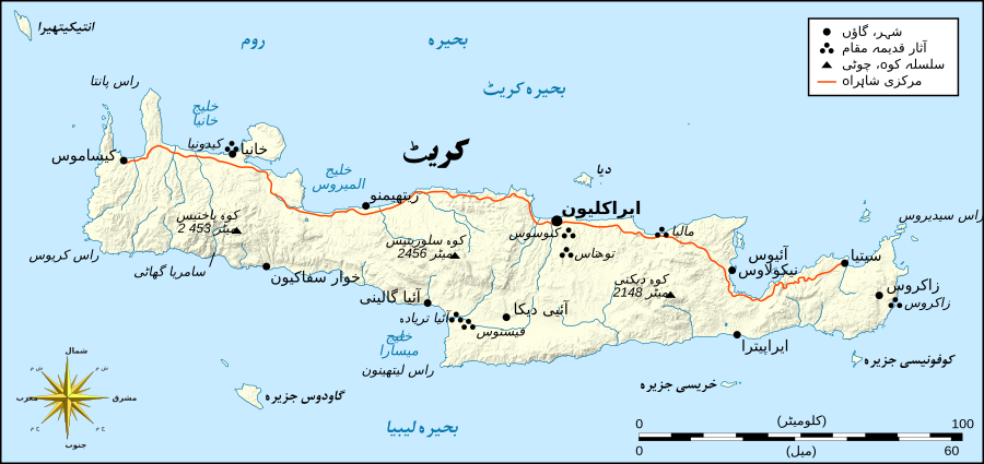
| Description |
English: Crete map
اردو: کریٹ کا نقشہ |
| Date | |
| Source | File:Crete integrated map-en.svg |
| Author | Eric Gaba (translated by Tahir Mahmood (Urdu)) |
| Other versions |
[]
|


Licensing edit
I, the copyright holder of this work, hereby publish it under the following license:
This file is licensed under the Creative Commons Attribution-Share Alike 4.0 International license.
- You are free:
- to share – to copy, distribute and transmit the work
- to remix – to adapt the work
- Under the following conditions:
- attribution – You must give appropriate credit, provide a link to the license, and indicate if changes were made. You may do so in any reasonable manner, but not in any way that suggests the licensor endorses you or your use.
- share alike – If you remix, transform, or build upon the material, you must distribute your contributions under the same or compatible license as the original.
File history
Click on a date/time to view the file as it appeared at that time.
| Date/Time | Thumbnail | Dimensions | User | Comment | |
|---|---|---|---|---|---|
| current | 05:33, 11 April 2018 | | 900 × 425 (266 KB) | Tahir mq (talk | contribs) | Keys |
| 05:24, 11 April 2018 |  | 900 × 425 (266 KB) | Tahir mq (talk | contribs) | User created page with UploadWizard |
You cannot overwrite this file.
File usage on Commons
The following 18 pages use this file:
- File:Crete archaeological sites-fr.svg
- File:Crete archaeological sites-pt.svg
- File:Crete integrated map-el.svg
- File:Crete integrated map-en.svg
- File:Crete integrated map-hu.svg
- File:Crete integrated map-mk.svg
- File:Crete integrated map-ur.svg
- File:Crete relief map-be.svg
- File:Crete relief map-de.jpg
- File:Crete relief map-de.svg
- File:Crete relief map-fr.svg
- File:Crete topographic map-fr.jpg
- File:Crete topographic map-fr.svg
- File:Crete topographic map-it.svg
- File:Crete topographic map-ru.svg
- File:Crete topographic map-uk.svg
- File:Minoan Crete topographic map-ru.svg
- Template:Other versions/Crete topographic map
File usage on other wikis
The following other wikis use this file:
- Usage on ur.wikipedia.org