File:Crossed ice axes, "Siachen Glacier, 1985, highest battle field in the world (14000- 22000)" (cropped).jpg

Size of this preview: 800 × 562 pixels. Other resolutions: 320 × 225 pixels | 640 × 450 pixels | 1,024 × 720 pixels | 1,174 × 825 pixels.
Original file (1,174 × 825 pixels, file size: 242 KB, MIME type: image/jpeg)
Captions
Captions
Add a one-line explanation of what this file represents
Summary edit
| Description |
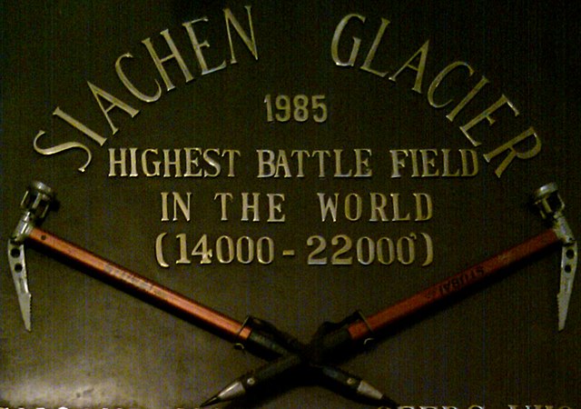
English: The Dogra Regiment: service at Siachen Glacier, highest battlefield in the world |
| Date | |
| Source | https://www.flickr.com/photos/abhishek_kr7/4632540462/in/photostream/ |
| Author | Abhishek_Kumar |
| Permission (Reusing this file) |
This file is licensed under the Creative Commons Attribution 2.0 Generic license.
|
| Other versions |

%22_(cropped).jpg&action=edit§ion=1)
| Camera location | | View this and other nearby images on: OpenStreetMap |
|---|
%22_(cropped).jpg¶ms=027.107417_N_0088.343172_E_globe:Earth_type:camera_alt:0_source:exif_&language=en)
-
Licensing edit
%22_(cropped).jpg&action=edit§ion=2)
This file is licensed under the Creative Commons Attribution 2.0 Generic license.
- You are free:
- to share – to copy, distribute and transmit the work
- to remix – to adapt the work
- Under the following conditions:
- attribution – You must give appropriate credit, provide a link to the license, and indicate if changes were made. You may do so in any reasonable manner, but not in any way that suggests the licensor endorses you or your use.
File history
Click on a date/time to view the file as it appeared at that time.
| Date/Time | Thumbnail | Dimensions | User | Comment | |
|---|---|---|---|---|---|
| current | 20:28, 26 January 2019 | | 1,174 × 825 (242 KB) | Tibet Nation (talk | contribs) | File:Dogra Siachen.jpg cropped 40 % horizontally, 68 % vertically using CropTool with lossless mode. |
You cannot overwrite this file.
File usage on Commons
The following 2 pages use this file:
%22_(cropped).jpg&oldid=871381704)