File:Cuenca-038-039-040-041-042-B.svg

Original file (SVG file, nominally 1,308 × 871 pixels, file size: 3.24 MB)
Captions
Captions
Summary edit
| Description |
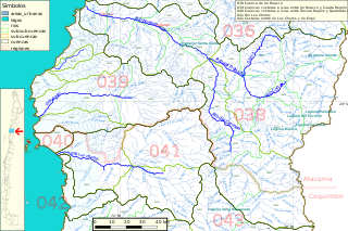
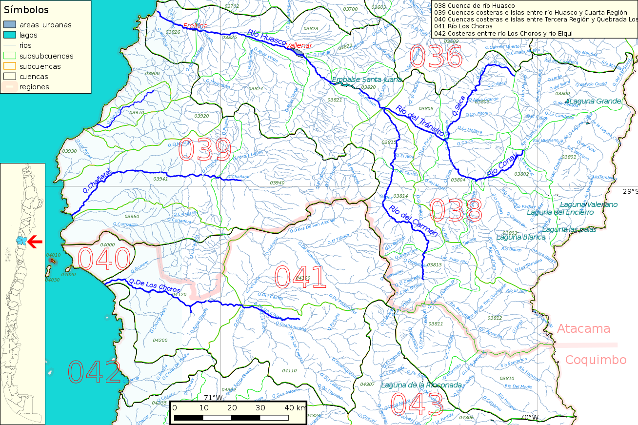
Español: Cuenca hidrográfica 038 (río Huasco), 039, 040, 041 (río Los Choros) y 042 del inventario de cuencas de Chile. Resolución 200dpi.
Este mapa se elaboró con información extraída de:
Donde BNC, MMA y cedeus significan:
Los datos fueron procesados con QGIS version 2.18.17, exportados al formato SVG con las opciones "render map labels as outlines" desconectada pero "export map layers as svg groups" conectada. Con Inkscape 0.92 se eliminó la excesiva repetición de nombres, los nombres fueron colocados paralelos a los ríos o lagos y en lugares más visibles. Nombres y números que el editor no pudo asociar a objeto alguno fueron borrados. Finalmente se redujo el volumen de datos por medio de svgo (svg-optimizer). |
| Date | |
| Source | Own work |
| Author | Juan Villalobos |
Licensing edit
- You are free:
- to share – to copy, distribute and transmit the work
- to remix – to adapt the work
- Under the following conditions:
- attribution – You must give appropriate credit, provide a link to the license, and indicate if changes were made. You may do so in any reasonable manner, but not in any way that suggests the licensor endorses you or your use.
- share alike – If you remix, transform, or build upon the material, you must distribute your contributions under the same or compatible license as the original.
File history
Click on a date/time to view the file as it appeared at that time.
| Date/Time | Thumbnail | Dimensions | User | Comment | |
|---|---|---|---|---|---|
| current | 20:42, 20 June 2019 | | 1,308 × 871 (3.24 MB) | Juan Villalobos (talk | contribs) | Todo nuevo. svgcleaner. |
| 19:22, 31 January 2019 |  | 1,392 × 925 (3.13 MB) | Juan Villalobos (talk | contribs) | mas liviana | |
| 16:46, 28 January 2019 |  | 1,392 × 925 (4.73 MB) | Juan Villalobos (talk | contribs) | QGIS: "render map labels as outlines" desconectado: map labels as text | |
| 12:08, 28 January 2019 |  | 1,392 × 925 (7.25 MB) | Juan Villalobos (talk | contribs) | corrijo mapa de ubicación | |
| 19:57, 26 January 2019 |  | 1,392 × 925 (7.23 MB) | Juan Villalobos (talk | contribs) | archivo pasado por https://www.npmjs.com/get-npm para reducir peso: 57,5% menos | |
| 21:27, 25 January 2019 |  | 1,304 × 850 (17.08 MB) | Juan Villalobos (talk | contribs) | User created page with UploadWizard |
You cannot overwrite this file.
File usage on Commons
The following page uses this file:
File usage on other wikis
The following other wikis use this file:
- Usage on es.wikipedia.org
- Embalse Santa Juana
- Río Huasco
- Laguna Grande (Atacama)
- Laguna Chica (Cuenca del río Huasco)
- Río El Tránsito
- Río El Carmen
- Categoría:Cuenca del río Huasco (038)
- Quebrada Los Choros
- Categoría:Cuenca del río Los Choros (041)
- Quebrada Honda (Coquimbo)
- Categoría:Cuencas costeras entre Río Los Choros y Río Elqui (042)
- Río Conay
- Cuenca del río Huasco
- Río Potrerillo
- Río Valeriano
- Río Laguna Chica
- Río Laguna Grande
- Humedal Estuario del río Huasco
- Laguna Grande (Cuenca del río Huasco)
- Río Chollay
- Interfluvio entre la quebrada Carrizalillo y la quebrada Los Choros
- Categoría:Cuencas costeras e islas entre Tercera Región y Quebrada Los Choros (040)
- Río Pachuy
- Río del Medio (El Carmen)
- Río Primero (El Carmen)
- Río Apolinario
- Río Sancarrón
- Río Blanco (Chollay)
- Río Estrecho
- Humedal La Boca de La Higuera
- Usage on sh.wikipedia.org
- Usage on www.wikidata.org