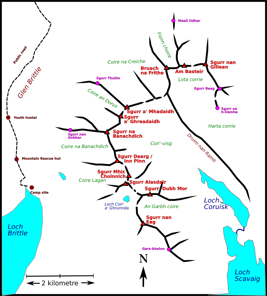
File:Cuillin ridgs, Scotland, sketch map.svg

Size of this PNG preview of this SVG file: 542 × 600 pixels. Other resolutions: 217 × 240 pixels | 434 × 480 pixels | 694 × 768 pixels | 925 × 1,024 pixels | 1,850 × 2,048 pixels | 1,028 × 1,138 pixels.
Original file (SVG file, nominally 1,028 × 1,138 pixels, file size: 515 KB)
Captions
Captions
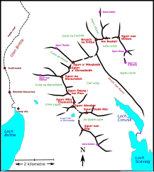
Sketch map of Cuillin mountain ridge, Scotland
Summary edit
| Description |
English: Sketch map of Cuillin mountain ridge, Scotland
Based on several maps, particularly Fabian, Derek J.; Little, Graham E.; Williams, D. Noel (1989), pp 173, 189, 203, 219. The islands of Scotland including Skye. Scottish Mountaineering Trust. ISBN 0-907521-23-1 |
| Date | |
| Source | Own work |
| Author | Thincat |
| Camera location | | View this and other nearby images on: OpenStreetMap |
|---|
Licensing edit
I, the copyright holder of this work, hereby publish it under the following license:
This file is licensed under the Creative Commons Attribution-Share Alike 4.0 International license.
- You are free:
- to share – to copy, distribute and transmit the work
- to remix – to adapt the work
- Under the following conditions:
- attribution – You must give appropriate credit, provide a link to the license, and indicate if changes were made. You may do so in any reasonable manner, but not in any way that suggests the licensor endorses you or your use.
- share alike – If you remix, transform, or build upon the material, you must distribute your contributions under the same or compatible license as the original.
| Annotations | This image is annotated: View the annotations at Commons |
File history
Click on a date/time to view the file as it appeared at that time.
| Date/Time | Thumbnail | Dimensions | User | Comment | |
|---|---|---|---|---|---|
| current | 19:31, 12 November 2020 | | 1,028 × 1,138 (515 KB) | Thincat (talk | contribs) | A few more places, spelling correction |
| 19:01, 12 November 2020 |  | 1,028 × 1,138 (459 KB) | Thincat (talk | contribs) | white background | |
| 18:30, 12 November 2020 |  | 1,028 × 1,138 (442 KB) | Thincat (talk | contribs) | Uploaded own work with UploadWizard |
You cannot overwrite this file.
File usage on Commons
There are no pages that use this file.
File usage on other wikis
The following other wikis use this file:
- Usage on de.wikipedia.org
- Usage on en.wikipedia.org
- Usage on kw.wikipedia.org