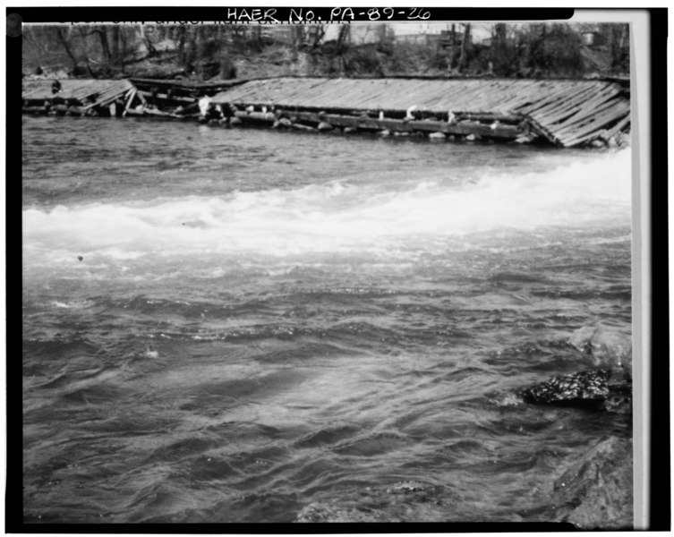
File:DAMAGE INCURRED BY FLOODING AND ICE IN 1979 (March 1979) - Hamilton Street Dam, Lehigh River upstream of Hamilton Street Bridge, Allentown, Lehigh County, PA HAER PA,39-ALLEN,3A-26.tif
Size of this JPG preview of this TIF file: 753 × 600 pixels. Other resolutions: 301 × 240 pixels | 603 × 480 pixels | 964 × 768 pixels | 1,280 × 1,020 pixels | 2,560 × 2,040 pixels | 4,944 × 3,939 pixels.
Original file (4,944 × 3,939 pixels, file size: 18.57 MB, MIME type: image/tiff)
Captions
Captions
Add a one-line explanation of what this file represents
Summary edit
| DAMAGE INCURRED BY FLOODING AND ICE IN 1979 (March 1979) - Hamilton Street Dam, Lehigh River upstream of Hamilton Street Bridge, Allentown, Lehigh County, PA | ||||
|---|---|---|---|---|
| Title |
DAMAGE INCURRED BY FLOODING AND ICE IN 1979 (March 1979) - Hamilton Street Dam, Lehigh River upstream of Hamilton Street Bridge, Allentown, Lehigh County, PA |
|||
| Description |
Pennsylvania Department of Environmental Resources; Heritage Conservation and Recreation Service; Lehigh Coal and Navigation Company; Yearby, Jean P, historian; Stott, Peter H, historian; Miller, Robert G, photographer; Lowe, Jet, photographer |
|||
| Depicted place | Pennsylvania; Lehigh County; Allentown | |||
| Date | Documentation compiled after 1968 | |||
| Dimensions | 4 x 5 in. | |||
| Current location |
Library of Congress Prints and Photographs Division Washington, D.C. 20540 USA http://hdl.loc.gov/loc.pnp/pp.print |
|||
| Accession number |
HAER PA,39-ALLEN,3A-26 |
|||
| Credit line |
|
|||
| Notes |
|
|||
| Source | https://www.loc.gov/pictures/item/pa1635.photos.135235p | |||
| Permission (Reusing this file) |
|
|||

| Object location | | View this and other nearby images on: OpenStreetMap |
|---|
File history
Click on a date/time to view the file as it appeared at that time.
| Date/Time | Thumbnail | Dimensions | User | Comment | |
|---|---|---|---|---|---|
| current | 14:31, 30 July 2014 |  | 4,944 × 3,939 (18.57 MB) | Fæ (talk | contribs) | GWToolset: Creating mediafile for Fæ. HABS 30 July 2014 (2901:3000) |
You cannot overwrite this file.
File usage on Commons
The following page uses this file: