File:DEMChablais.png
Size of this preview: 800 × 502 pixels. Other resolutions: 320 × 201 pixels | 640 × 402 pixels | 1,024 × 643 pixels | 1,280 × 803 pixels | 2,876 × 1,805 pixels.
Original file (2,876 × 1,805 pixels, file size: 1.92 MB, MIME type: image/png)
Captions
Captions
Add a one-line explanation of what this file represents
Summary edit
| Description |
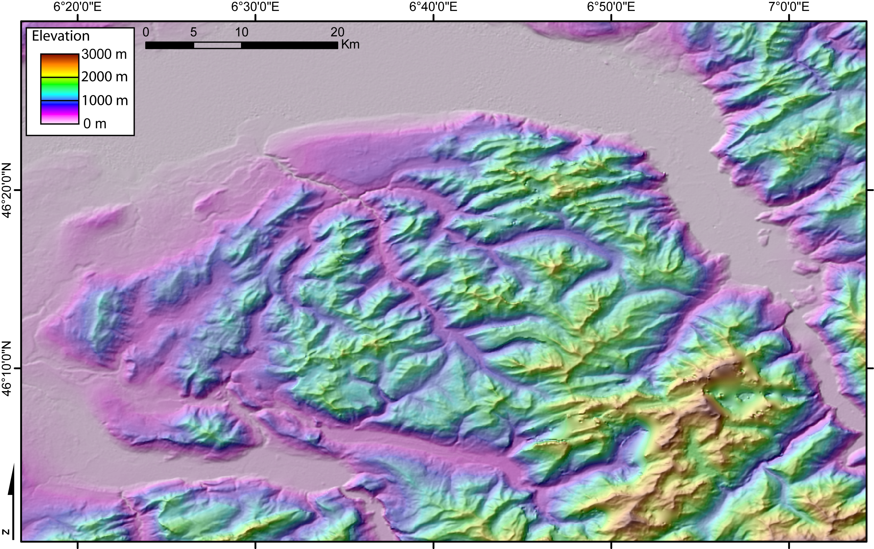
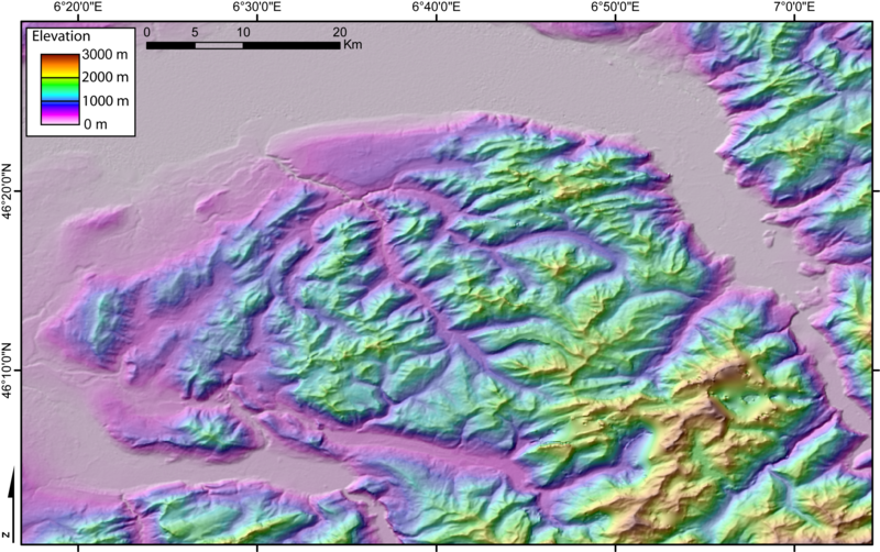
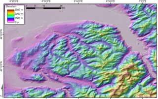
DEM of the Chablais massif (French and Swiss Alps) created by Jide from the 90m pixel size SRTM dataset. The flat area to the North is Lake Geneva. The Rhone valley is located to the East, and the wide valley to the South and SW is the Arve valley. |
| Date | 3 November 2005 (original upload date) |
| Source | No machine-readable source provided. Own work assumed (based on copyright claims). |
| Author | No machine-readable author provided. Jide~commonswiki assumed (based on copyright claims). |
Licensing edit
| I, the copyright holder of this work, release this work into the public domain. This applies worldwide. In some countries this may not be legally possible; if so: I grant anyone the right to use this work for any purpose, without any conditions, unless such conditions are required by law. |
File history
Click on a date/time to view the file as it appeared at that time.
| Date/Time | Thumbnail | Dimensions | User | Comment | |
|---|---|---|---|---|---|
| current | 22:22, 3 November 2005 | | 2,876 × 1,805 (1.92 MB) | Jide~commonswiki (talk | contribs) | DEM of the Chablais massif (French and Swiss Alps) created by Jide from the 90m pixel size SRTM dataset. The flat area to the North is the Leman Lake ("lake of Geneva"). The Rhone valley is located to the East, and the wide valley to the South and SW is t |
You cannot overwrite this file.
File usage on Commons
There are no pages that use this file.
File usage on other wikis
The following other wikis use this file:
- Usage on es.wikipedia.org
- Usage on fr.wikipedia.org
- Usage on it.wikipedia.org
- Usage on nl.wikipedia.org
- Usage on nl.wikibooks.org