File:De Zeventien Provinciën der Nederlanden - Novus XVII Inferioris Germaniae Provinciarum Typus (W.Blaeu, J.van den Ende, 1664).jpg

Size of this preview: 702 × 600 pixels. Other resolutions: 281 × 240 pixels | 562 × 480 pixels | 899 × 768 pixels | 1,199 × 1,024 pixels | 2,398 × 2,048 pixels | 7,909 × 6,755 pixels.
Original file (7,909 × 6,755 pixels, file size: 7.75 MB, MIME type: image/jpeg)
Captions
Captions
Add a one-line explanation of what this file represents
Summary edit
| Description |
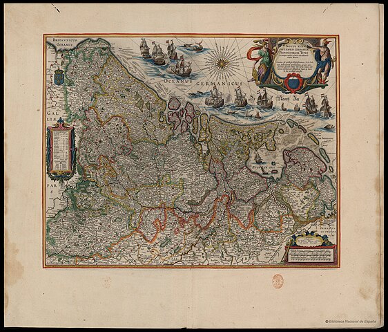
English: Map of the Seventeen Provinces of the Netherlands. In Latin: "The 17 Low Germanic Provinces."
Nederlands: Kaart van De Zeventien Provinciën der Nederlanden. In het Latijn: "De 17 Lage Germaanse Provinciën."
Français : Carte des Dix-sept Provinces des Pays-Bas. En latin: «Les 17 Provinces Bas-Germaniques.»
Deutsch: Karte der Siebzehn Provinzen der Niederlande. Auf Lateinisch: „Die 17 Niedergermanischen Provinzen.“
Latina: Novus XVII Inferioris Germaniæ Provinciarum Typus |
||||||||||||||||||||||||||
| Date | between 1608 and 1664 | ||||||||||||||||||||||||||
| Source |
Biblioteca Digital Hispánica - Biblioteca Digital Hispànic Ver obra #7 |
||||||||||||||||||||||||||
| Author |
|
||||||||||||||||||||||||||
| Other versions | Atlas van Loon | ||||||||||||||||||||||||||

.jpg&action=edit§ion=1)
Licensing edit
.jpg&action=edit§ion=2)
|
This work is in the public domain in its country of origin and other countries and areas where the copyright term is the author's life plus 100 years or fewer. | |
| This file has been identified as being free of known restrictions under copyright law, including all related and neighboring rights. | |
File history
Click on a date/time to view the file as it appeared at that time.
| Date/Time | Thumbnail | Dimensions | User | Comment | |
|---|---|---|---|---|---|
| current | 20:17, 20 March 2015 | | 7,909 × 6,755 (7.75 MB) | Joop Rotte (talk | contribs) | Nog mooiere resolutie, houdt 't dan nooit op... |
| 14:05, 6 March 2012 |  | 6,147 × 4,842 (12.21 MB) | Joop Rotte (talk | contribs) | Zeldzamere versie, geconverteerd MrSid bestand bron: [http://memory.loc.gov/gmd//gmd3m/g3200m/g3200m/gct00035/ca000083m.jp2 American memory] | |
| 11:54, 15 October 2008 |  | 5,500 × 4,414 (4.44 MB) | Kweniston (talk | contribs) | {{Information |Description={{en|1=Map of the United Provinces of the Netherlands}} {{nl|1=De Zeven Provintiën van de Lage Landen}} |Source=Atlas van Loon |Author=W.J.Blaeu, J. van den Ende |Date=1664 |Permission= |other_versions= }} <!--{{ImageUpload|fu |
You cannot overwrite this file.
File usage on Commons
The following 5 pages use this file:
.jpg&redirect=no)
File usage on other wikis
The following other wikis use this file:
- Usage on nl.wikipedia.org
.jpg&oldid=857749415)