File:Dead Sea terrain location map.jpg
Size of this preview: 322 × 598 pixels. Other resolutions: 129 × 240 pixels | 258 × 480 pixels | 413 × 768 pixels | 1,233 × 2,291 pixels.
Original file (1,233 × 2,291 pixels, file size: 743 KB, MIME type: image/jpeg)
Captions
Captions
Add a one-line explanation of what this file represents
Summary edit
| Camera location | | View this and other nearby images on: OpenStreetMap |
|---|
| Description |
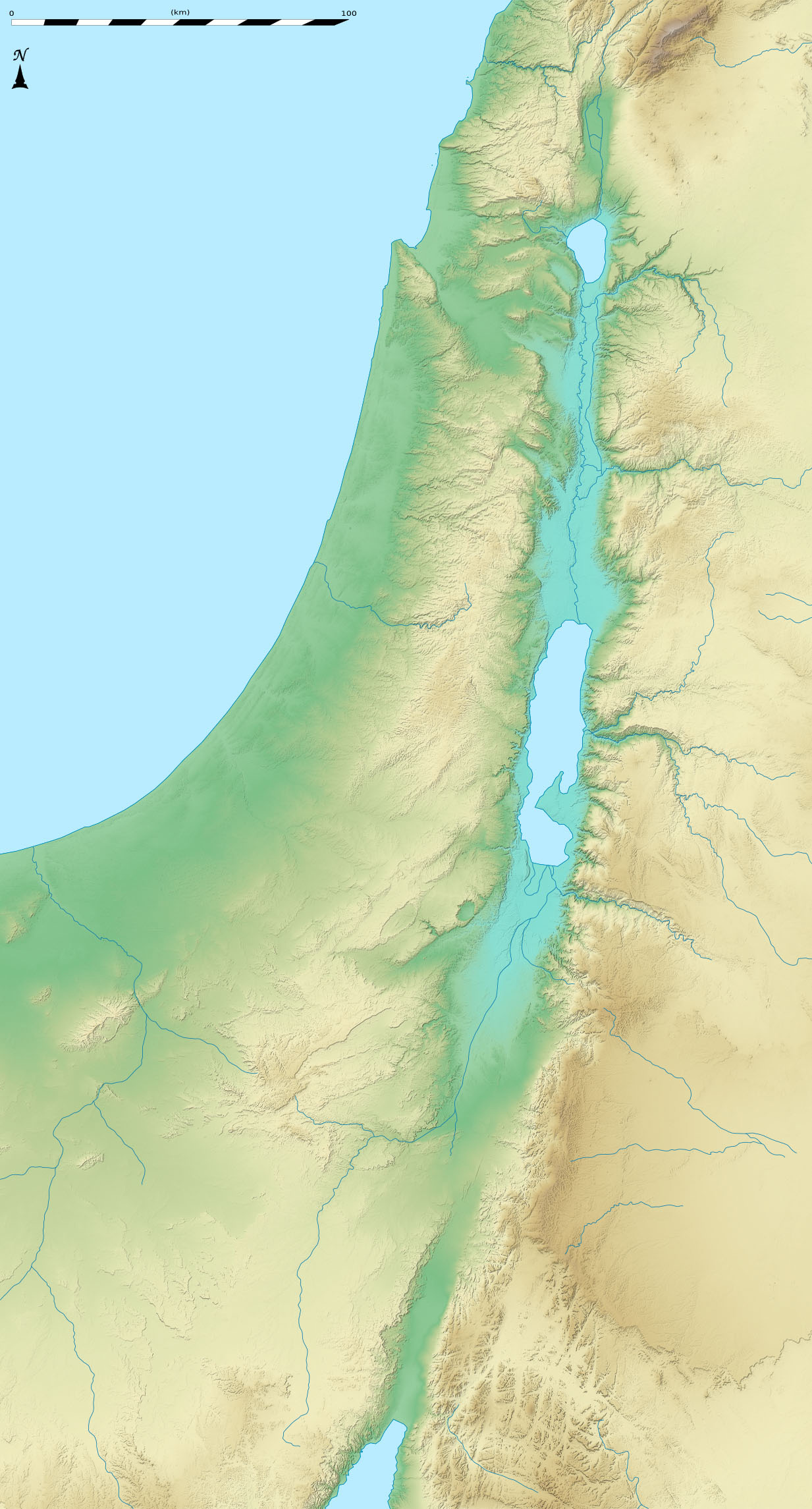
Deutsch: Positionskarte von Israel.
English: Blank location map of Israel (no boundaries).
Français : Carte physique vierge (sans frontières) d'Israël, destinée à la géolocalisation. Equirectangular projection, N/S stretching 115 %.
Geographic limits of the map:
|
| Date | |
| Source |
Topographic background map: Own work
|
| Author | Eric Gaba (Sting - fr:Sting) and NordNordWest |
Licensing edit
This file is licensed under the Creative Commons Attribution-Share Alike 3.0 Unported license.
- You are free:
- to share – to copy, distribute and transmit the work
- to remix – to adapt the work
- Under the following conditions:
- attribution – You must give appropriate credit, provide a link to the license, and indicate if changes were made. You may do so in any reasonable manner, but not in any way that suggests the licensor endorses you or your use.
- share alike – If you remix, transform, or build upon the material, you must distribute your contributions under the same or compatible license as the original.
File history
Click on a date/time to view the file as it appeared at that time.
| Date/Time | Thumbnail | Dimensions | User | Comment | |
|---|---|---|---|---|---|
| current | 22:23, 28 November 2011 | | 1,233 × 2,291 (743 KB) | MichaelNetzer (talk | contribs) |
You cannot overwrite this file.
File usage on Commons
The following page uses this file:
.png)
File usage on other wikis
The following other wikis use this file:
- Usage on en.wikipedia.org
- Usage on fr.wikipedia.org
- Usage on id.wikipedia.org
- Usage on la.wikipedia.org