File:Deidesheim Gemminger 001 2015 08 19.jpg
Original file (1,907 × 2,622 pixels, file size: 662 KB, MIME type: image/jpeg)
Captions
Captions
Summary edit
| Description |
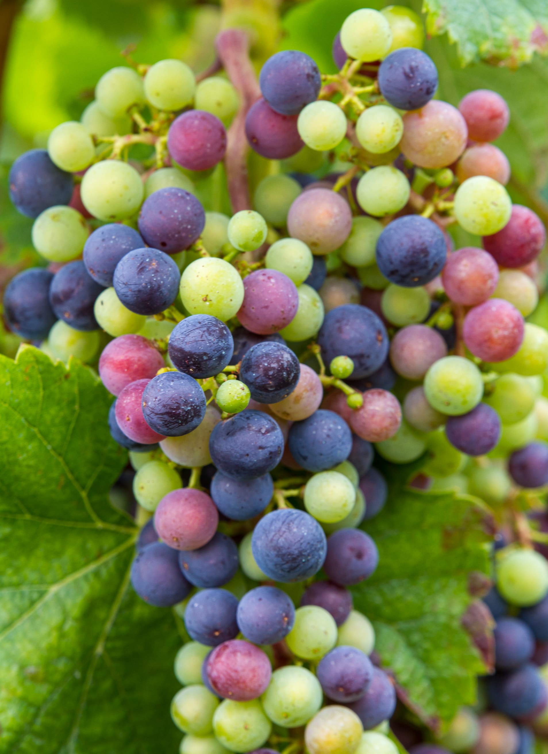
Title: Grape with different coloured berries
Place: City of Deidesheim, Collective municipality Deidesheim, District Bad Dürkheim, Rhineland-Palatinate, Germany Designation 2: Biosphere reserve Palatinate Forest |
||||||
| Date | Taken on 19.08.2015 15:57:23 | ||||||
| Source | Self-photographed | ||||||
| Author | Friedrich Haag | ||||||
| Attribution (required by the license) | © Friedrich Haag / Wikimedia Commons / | ||||||
| Object location | | View this and other nearby images on: OpenStreetMap |
|---|
| Camera location | | View this and other nearby images on: OpenStreetMap |
|---|
Licensing edit
- You are free:
- to share – to copy, distribute and transmit the work
- to remix – to adapt the work
- Under the following conditions:
- attribution – You must give appropriate credit, provide a link to the license, and indicate if changes were made. You may do so in any reasonable manner, but not in any way that suggests the licensor endorses you or your use.
- share alike – If you remix, transform, or build upon the material, you must distribute your contributions under the same or compatible license as the original.
Other edit
This image was uploaded as part of Wiki Loves Earth 2020.
|
 |
File history
Click on a date/time to view the file as it appeared at that time.
| Date/Time | Thumbnail | Dimensions | User | Comment | |
|---|---|---|---|---|---|
| current | 12:24, 6 June 2020 | | 1,907 × 2,622 (662 KB) | F. Riedelio (talk | contribs) | Uploaded with LrMediaWiki 0.8.0, LR 9.2.1 Win |
You cannot overwrite this file.
File usage on Commons
The following 2 pages use this file: