File:Deliverance Island, Torres Strait (Landsat).png
No higher resolution available.
Deliverance_Island,_Torres_Strait_(Landsat).png (512 × 256 pixels, file size: 205 KB, MIME type: image/png)
Captions
Captions
Add a one-line explanation of what this file represents
Summary edit
.png&action=edit§ion=1)
| Description |
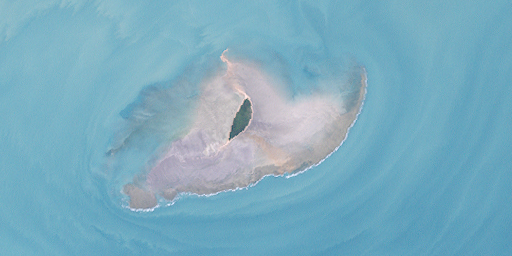
English: Deliverance Island in the most northwest of Torres Strait Islands, Queensland, Australia Deutsch: Deliverance Island im äussersten Nordwesten der Torres-Strait-Inseln, Queensland, Australien |
| Date | |
| Source | http://oceancolor.gsfc.nasa.gov/cgi/landsat_extract.pl?path=99&row=67&x=-921&y=-2315&n=0&t=321 |
| Author | NASA |
Licensing edit
.png&action=edit§ion=2)
| This file is in the public domain in the United States because it was solely created by NASA. NASA copyright policy states that "NASA material is not protected by copyright unless noted". (See Template:PD-USGov, NASA copyright policy page or JPL Image Use Policy.) | ||
 |
Warnings:
|
File history
Click on a date/time to view the file as it appeared at that time.
| Date/Time | Thumbnail | Dimensions | User | Comment | |
|---|---|---|---|---|---|
| current | 11:08, 29 October 2011 | | 512 × 256 (205 KB) | Wurfzoll (talk | contribs) |
You cannot overwrite this file.
File usage on Commons
The following page uses this file:
File usage on other wikis
The following other wikis use this file:
- Usage on ceb.wikipedia.org
- Usage on de.wikipedia.org
- Usage on www.wikidata.org
.png&oldid=509991085)