File:Deltawork.PNG

Size of this preview: 686 × 599 pixels. Other resolutions: 275 × 240 pixels | 550 × 480 pixels | 879 × 768 pixels | 1,172 × 1,024 pixels | 1,580 × 1,380 pixels.
Original file (1,580 × 1,380 pixels, file size: 220 KB, MIME type: image/png)
Captions
Captions
Add a one-line explanation of what this file represents
Summary edit
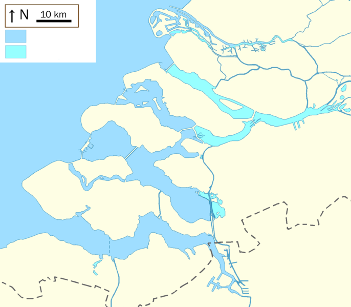
Geographic limits of the map:
- N: 52.009° N
- S: 51.208° N
- W: 3.35° E
- E: 4.82° E
| Description |
English: file to be used for templates |
| Date | |
| Source | Own work |
| Author | Io Herodotus |
Deutsch: Positions
Licensing edit
I, the copyright holder of this work, hereby publish it under the following license:
This file is licensed under the Creative Commons Attribution-Share Alike 3.0 Unported license.
- You are free:
- to share – to copy, distribute and transmit the work
- to remix – to adapt the work
- Under the following conditions:
- attribution – You must give appropriate credit, provide a link to the license, and indicate if changes were made. You may do so in any reasonable manner, but not in any way that suggests the licensor endorses you or your use.
- share alike – If you remix, transform, or build upon the material, you must distribute your contributions under the same or compatible license as the original.
File history
Click on a date/time to view the file as it appeared at that time.
| Date/Time | Thumbnail | Dimensions | User | Comment | |
|---|---|---|---|---|---|
| current | 06:55, 11 October 2021 | | 1,580 × 1,380 (220 KB) | Io Herodotus (talk | contribs) | tunnel |
| 07:22, 7 October 2015 |  | 1,580 × 1,380 (220 KB) | Io Herodotus (talk | contribs) | bernisse | |
| 20:44, 6 October 2015 |  | 1,580 × 1,380 (221 KB) | Io Herodotus (talk | contribs) | spui | |
| 21:42, 24 June 2015 |  | 1,580 × 1,380 (106 KB) | Io Herodotus (talk | contribs) | Maasvlakte2 Zealand bridge | |
| 14:13, 28 February 2014 |  | 1,580 × 1,380 (214 KB) | Io Herodotus (talk | contribs) | slight change of colours | |
| 12:56, 28 February 2014 |  | 1,580 × 1,380 (214 KB) | Io Herodotus (talk | contribs) | fresh water, sea water with a different colour | |
| 10:49, 24 February 2014 |  | 1,580 × 1,380 (213 KB) | Io Herodotus (talk | contribs) | colours of the lacs and large rivers | |
| 15:08, 20 February 2014 |  | 1,580 × 1,380 (214 KB) | Io Herodotus (talk | contribs) | colours, border | |
| 13:57, 19 February 2014 |  | 1,580 × 1,500 (223 KB) | Io Herodotus (talk | contribs) | haringvliet | |
| 10:52, 19 February 2014 |  | 1,580 × 1,500 (223 KB) | Io Herodotus (talk | contribs) | User created page with UploadWizard |
You cannot overwrite this file.
File usage on Commons
There are no pages that use this file.
File usage on other wikis
The following other wikis use this file:
- Usage on ar.wikipedia.org
- Usage on bn.wikipedia.org
- Usage on en.wikipedia.org
- Usage on fr.wikipedia.org
- Plan Delta
- Oesterdam
- Oosterscheldekering
- Maeslantkering
- Hartelkering
- Veerse Meer
- Markiezaatskade
- Veerse Gat
- Haringvlietdam
- Haringvliet (bras de mer)
- Spui (rivière)
- Hollands Diep (rivière)
- Dordtsche Kil
- Canal de Zuid-Beveland
- Volkerak
- Grevelingenmeer
- Veerse Gatdam
- Philipsdam
- Krammer
- Grevelingendam
- Stormvloedkering Hollandse IJssel
- Zandkreekdam
- Brouwersdam
- Volkerakdam
- Bathse spuisluis
- Zandkreek
- Markiezaatsmeer
- Pont de Zélande
- Écluses du Volkerak
- Pont du Haringvliet
- Hellegatsdam
- Zoommeer
- Modèle:Géolocalisation/Plan Delta
- Modèle:Carte/Plan Delta
View more global usage of this file.