File:Denmark adm location map.svg

Original file (SVG file, nominally 1,836 × 1,478 pixels, file size: 479 KB)
Captions
Captions
Summary edit
| Description |
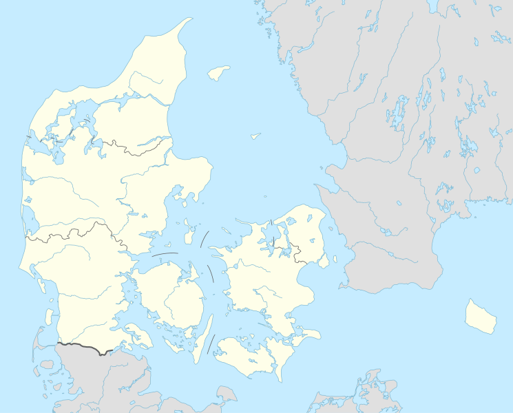
Deutsch: Positionskarte von Dänemark
English: Location map of Denmark
|
||||||||||||
| Date | |||||||||||||
| Source |
Own work using:
|
||||||||||||
| Author | NordNordWest | ||||||||||||
| SVG development | This locator map was created with Adobe Illustrator.
|
||||||||||||

Licensing edit
Usage of this file with:

explanatory notes: Legally binding is only the full legalcode. For a free usage I recommend to respect the following licence conditions:
1. Provide my name as given above: NordNordWest,
2. a copy of, or the URI for, the applicable license: https://creativecommons.org/licenses/by-sa/3.0/de/legalcode,
3. the title of the work,
4. in the case of an adaptation, a credit identifying the use of the work in the adaptation.
This license and the rights granted hereunder will terminate automatically upon any breach by you of the terms of this license. Any of the above conditions can be waived if you get permission from the copyright holder. If you have questions or wish differing conditions, please contact me through nnwest or my discussion page ![]() t-online.de
t-online.de
- You are free:
- to share – to copy, distribute and transmit the work
- to remix – to adapt the work
- Under the following conditions:
- attribution – You must give appropriate credit, provide a link to the license, and indicate if changes were made. You may do so in any reasonable manner, but not in any way that suggests the licensor endorses you or your use.
- share alike – If you remix, transform, or build upon the material, you must distribute your contributions under the same or compatible license as the original.

File history
Click on a date/time to view the file as it appeared at that time.
| Date/Time | Thumbnail | Dimensions | User | Comment | |
|---|---|---|---|---|---|
| current | 18:42, 31 March 2015 | | 1,836 × 1,478 (479 KB) | NordNordWest (talk | contribs) | == {{int:filedesc}} == {{Information |Description= {{de|1=Positionskarte von Dänemark}} {{en|1=Location map of Denmark}} {{Location map series N |stretching=170 |top=57.9 |bottom=54.3 |left=7.8 |right=15.4 }} |Source={{Own using}} * United States Nati... |
You cannot overwrite this file.
File usage on Commons
The following 2 pages use this file:
File usage on other wikis
The following other wikis use this file:
- Usage on af.wikipedia.org
- Tise
- Tødsø
- Tolne
- Tornby
- Tranum
- Tversted
- Tylstrup
- Uggerby
- Uggerhalne
- Ullits
- Ulsted
- Vadum
- Valsgård
- Valsted
- Vårst
- Thisted
- Thorshøj
- Guldbæk
- Gudumholm
- Gøttrup
- Godthåb (Aalborg)
- Gjøl
- Gistrup
- Gedsted
- Gandrup
- Gærum
- Tårs (Hjørring)
- Terndrup
- Vrå
- Vodskov
- Ydby
- Vodstrup
- Voerså
- Vognsild
- Vrensted
- Visse (Denemarke)
- Visborg
- Vindblæs
- Vilsund Vest
- Vilsted
- Vils
- Vidstrup
- Vestervig
- Vesterø Havn
- Vester Torup
- Vester Hornum
- Vester Hjermitslev
- Vester Hassing
- Vestbjerg
- Vesløs
View more global usage of this file.