File:Der Traunstein.jpg

Size of this preview: 448 × 599 pixels. Other resolutions: 179 × 240 pixels | 359 × 480 pixels | 575 × 768 pixels | 766 × 1,024 pixels | 1,712 × 2,288 pixels.
Original file (1,712 × 2,288 pixels, file size: 873 KB, MIME type: image/jpeg)
Captions
Captions
Add a one-line explanation of what this file represents
| Description |
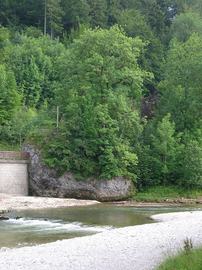
Der "Traunstein" an der Traun English: geotope, conglomerate, Geotop Nummer: 189R006
Deutsch: Geotop, Konglomerat, Nagelfluh, Geotop Nummer: 189R006 |
| Date | July 2006 (original upload date) |
| Source | Own work |
| Author | Mons Maenalus at German Wikipedia |
| Other versions | Bild stammt aus WP/de |
| I, the copyright holder of this work, release this work into the public domain. This applies worldwide. In some countries this may not be legally possible; if so: I grant anyone the right to use this work for any purpose, without any conditions, unless such conditions are required by law. |
| Camera location | | View this and other nearby images on: OpenStreetMap |
|---|
File history
Click on a date/time to view the file as it appeared at that time.
| Date/Time | Thumbnail | Dimensions | User | Comment | |
|---|---|---|---|---|---|
| current | 20:53, 3 April 2014 | | 1,712 × 2,288 (873 KB) | Furchenstein (talk | contribs) | {{Information |Description=Der "Traunstein" an der Traun |Source=own |Date=Juli 2006 |Author=Mons Maenalus |Permission= |other_versions=Bild stammt aus WP/de }} {{PD}} Category:Geotopes in Landkreis Traunstein |
You cannot overwrite this file.
File usage on Commons
The following page uses this file:
File usage on other wikis
The following other wikis use this file:
- Usage on azb.wikipedia.org
- Usage on de.wikipedia.org
- Usage on www.wikidata.org