File:DerbyCtLocatorMap.png
Size of this preview: 800 × 594 pixels. Other resolutions: 320 × 238 pixels | 640 × 475 pixels | 936 × 695 pixels.
Original file (936 × 695 pixels, file size: 79 KB, MIME type: image/png)
Captions
Captions
Add a one-line explanation of what this file represents
Summary
edit
| Description |
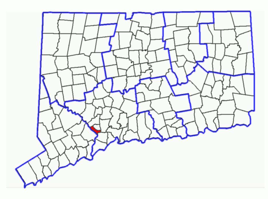
Subject: Map of Connecticut Townships with Woodbridge highlighted. Derived from sub-county SVG map of Connecticut at Libre Map Project using Adobe SVG viewer and Gimp 2.2.1.3 |
| Date | (first version) |
| Source | Derived from Libre Map Project by uploader. |
| Author | Karl Hahn 01:20, 20 August 2007 (UTC) |
| Permission (Reusing this file) |
CC-BY-SA-2.0. |
Licensing
edit
This file is licensed under the Creative Commons Attribution 2.0 Generic license.
- You are free:
- to share – to copy, distribute and transmit the work
- to remix – to adapt the work
- Under the following conditions:
- attribution – You must give appropriate credit, provide a link to the license, and indicate if changes were made. You may do so in any reasonable manner, but not in any way that suggests the licensor endorses you or your use.
File history
Click on a date/time to view the file as it appeared at that time.
| Date/Time | Thumbnail | Dimensions | User | Comment | |
|---|---|---|---|---|---|
| current | 01:20, 20 August 2007 | | 936 × 695 (79 KB) | Karlhahn (talk | contribs) | {{Information |Description=Subject: Map of Connecticut Townships with Woodbridge highlighted. Derived from sub-county SVG map of Connecticut at [http://libremap.org/data/boundary/ Libre Map Project] using Adobe SVG viewer and Gimp 2.2.1.3 |Source=Derived |
You cannot overwrite this file.
File usage on Commons
There are no pages that use this file.
File usage on other wikis
The following other wikis use this file:
- Usage on sv.wikipedia.org
- Usage on zh.wikipedia.org