File:Detail- Front view of shaft hoist sleeves - Miner's Delight, Atlantic City vicinity, Miners Delight, Fremont County, WY HABS WYO,7-MINDE,1-17.tif

Size of this JPG preview of this TIF file: 800 × 579 pixels. Other resolutions: 320 × 231 pixels | 640 × 463 pixels | 1,024 × 741 pixels | 1,280 × 926 pixels | 2,560 × 1,851 pixels | 5,000 × 3,616 pixels.
Original file (5,000 × 3,616 pixels, file size: 17.24 MB, MIME type: image/tiff)
Captions
Captions
Add a one-line explanation of what this file represents
Summary edit
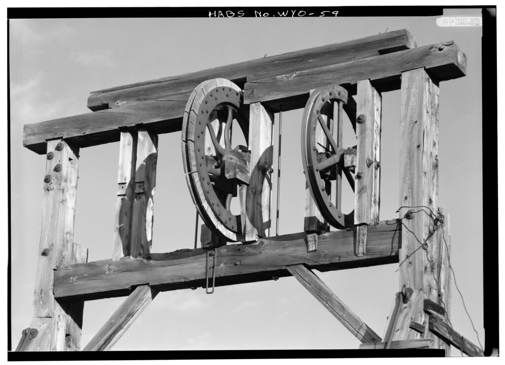
| Detail- Front view of shaft hoist sleeves - Miner's Delight, Atlantic City vicinity, Miners Delight, Fremont County, WY | ||||
|---|---|---|---|---|
| Photographer |
Boucher, Jack E. |
|||
| Title |
Detail- Front view of shaft hoist sleeves - Miner's Delight, Atlantic City vicinity, Miners Delight, Fremont County, WY |
|||
| Description |
Morris, Scott, transmitter; DeBoer, Ruth, transmitter |
|||
| Depicted place | Wyoming; Fremont County; Miners Delight | |||
| Date | 1974 | |||
| Dimensions | 5 x 7 in. | |||
| Current location |
Library of Congress Prints and Photographs Division Washington, D.C. 20540 USA http://hdl.loc.gov/loc.pnp/pp.print |
|||
| Accession number |
HABS WYO,7-MINDE,1-17 |
|||
| Credit line |
|
|||
| Notes |
|
|||
| Source | https://www.loc.gov/pictures/item/wy0065.photos.174799p | |||
| Permission (Reusing this file) |
|
|||

| Object location | | View this and other nearby images on: OpenStreetMap |
|---|
File history
Click on a date/time to view the file as it appeared at that time.
| Date/Time | Thumbnail | Dimensions | User | Comment | |
|---|---|---|---|---|---|
| current | 01:23, 5 August 2014 |  | 5,000 × 3,616 (17.24 MB) | Fæ (talk | contribs) | GWToolset: Creating mediafile for Fæ. HABS 2014-08-04 3801-4000 |
You cannot overwrite this file.
File usage on Commons
The following page uses this file: