File:Digden Bottom, Ibsley Common, New Forest - geograph.org.uk - 312982.jpg
No higher resolution available.
Digden_Bottom,_Ibsley_Common,_New_Forest_-_geograph.org.uk_-_312982.jpg (640 × 480 pixels, file size: 131 KB, MIME type: image/jpeg)
Captions
Captions
Add a one-line explanation of what this file represents
Summary edit
| Description |
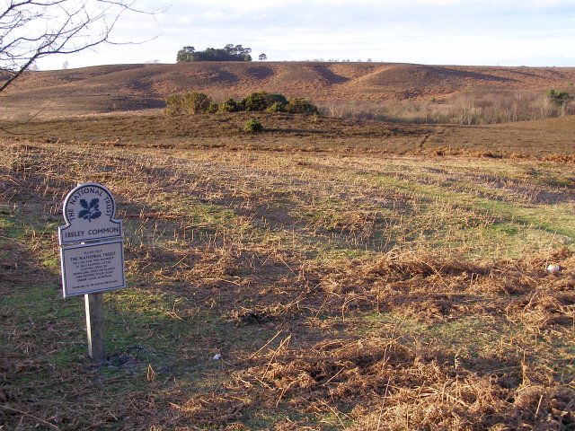
English: Digden Bottom, Ibsley Common, New Forest The National Trust sign on the left marks the edge of Ibsley Common, alongside the road from Moyles Court to the Red Shoot Inn. Across the valley of Digden Bottom (which contains Dockens Water) in the south-eastern edge of the plateau of Ibsley Common, with its undulating slopes. The clump of pines on the plateau is Whitefield Plantation. |
| Date | |
| Source | From geograph.org.uk |
| Author | Jim Champion |
| Attribution (required by the license) | Jim Champion / Digden Bottom, Ibsley Common, New Forest / |
| Camera location | | View this and other nearby images on: OpenStreetMap |
|---|
_heading:315.00&language=en)
| Object location | | View this and other nearby images on: OpenStreetMap |
|---|
_heading:315.00&language=en)
Licensing edit

|
This image was taken from the Geograph project collection. See this photograph's page on the Geograph website for the photographer's contact details. The copyright on this image is owned by Jim Champion and is licensed for reuse under the Creative Commons Attribution-ShareAlike 2.0 license.
|
This file is licensed under the Creative Commons Attribution-Share Alike 2.0 Generic license.
Attribution: Jim Champion
- You are free:
- to share – to copy, distribute and transmit the work
- to remix – to adapt the work
- Under the following conditions:
- attribution – You must give appropriate credit, provide a link to the license, and indicate if changes were made. You may do so in any reasonable manner, but not in any way that suggests the licensor endorses you or your use.
- share alike – If you remix, transform, or build upon the material, you must distribute your contributions under the same or compatible license as the original.
- Remove redundant categories and try to put this image in the most specific category/categories
- Remove this template
- The location categories are based on information from this geonames tool and this OpenStreetMap tool combined with a database. You can also have a look at this tool from mysociety.
- The topic category from Geograph was Heathland (find similar images at Geograph)
File history
Click on a date/time to view the file as it appeared at that time.
| Date/Time | Thumbnail | Dimensions | User | Comment | |
|---|---|---|---|---|---|
| current | 14:46, 30 December 2010 | | 640 × 480 (131 KB) | GeographBot (talk | contribs) | == {{int:filedesc}} == {{Information |description={{en|1=Digden Bottom, Ibsley Common, New Forest The National Trust sign on the left marks the edge of Ibsley Common, alongside the road from Moyles Court to the Red Shoot Inn. Across the valley of Digden B |
You cannot overwrite this file.
File usage on Commons
There are no pages that use this file.