File:Disconnect switch at southeast corner, vie wnortheast - Hoover Dam, Arizona-Nevada Switchyard, U.S. Highway 93, Boulder City, Clark County, NV HAER NV-27-F-4.tif

Size of this JPG preview of this TIF file: 486 × 599 pixels. Other resolutions: 195 × 240 pixels | 389 × 480 pixels | 623 × 768 pixels | 830 × 1,024 pixels | 1,661 × 2,048 pixels | 4,240 × 5,228 pixels.
Original file (4,240 × 5,228 pixels, file size: 21.14 MB, MIME type: image/tiff)
Captions
Captions
Add a one-line explanation of what this file represents
Summary edit
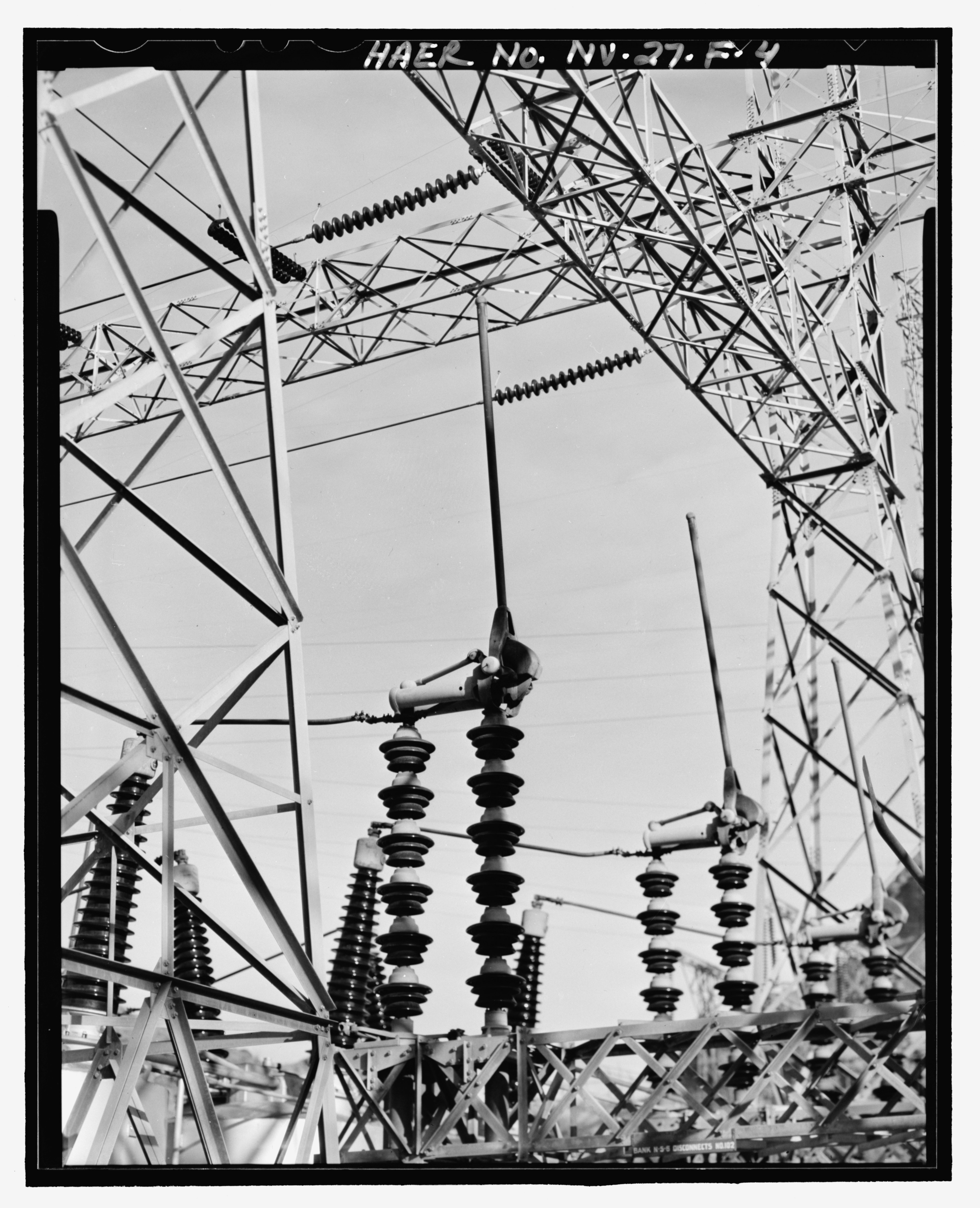
| English: Disconnect switch at southeast corner, vie wnortheast - Hoover Dam, Arizona-Nevada Switchyard, U.S. Highway 93, Boulder City, Clark County, NV | ||||
|---|---|---|---|---|
| Photographer |
Dobson-Brown, Deborah Related names:
|
|||
| Title |
English: Disconnect switch at southeast corner, vie wnortheast - Hoover Dam, Arizona-Nevada Switchyard, U.S. Highway 93, Boulder City, Clark County, NV |
|||
| Depicted place | Nevada; Clark County; Boulder City | |||
| Date | 2002 | |||
| Dimensions | 4 x 5 in. | |||
| Current location |
Library of Congress Prints and Photographs Division Washington, D.C. 20540 USA http://hdl.loc.gov/loc.pnp/pp.print |
|||
| Accession number |
HAER NV-27-F-4 |
|||
| Credit line |
|
|||
| Notes |
|
|||
| References |
|
|||
| Source | https://www.loc.gov/pictures/item/nv0330.photos.366077p | |||
| Permission (Reusing this file) |
|
|||

| Object location | | View this and other nearby images on: OpenStreetMap |
|---|
File history
Click on a date/time to view the file as it appeared at that time.
| Date/Time | Thumbnail | Dimensions | User | Comment | |
|---|---|---|---|---|---|
| current | 02:32, 29 July 2014 |  | 4,240 × 5,228 (21.14 MB) | Fæ (talk | contribs) | GWToolset: Creating mediafile for Fæ. HABS 24 July 2014 (2301:2600) |
You cannot overwrite this file.
File usage on Commons
The following page uses this file: