File:Districts of Masvingo Province, Zimbabwe.svg

Size of this PNG preview of this SVG file: 540 × 599 pixels. Other resolutions: 216 × 240 pixels | 432 × 480 pixels | 692 × 768 pixels | 922 × 1,024 pixels | 1,845 × 2,048 pixels | 563 × 625 pixels.
Original file (SVG file, nominally 563 × 625 pixels, file size: 857 KB)
Captions
Captions
Add a one-line explanation of what this file represents
Summary edit
| Description |
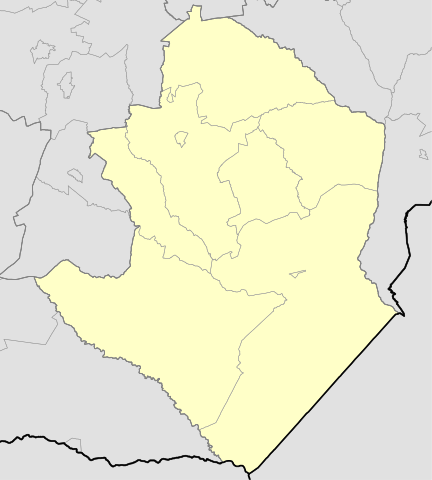
English: Map of districts of Masvingo Province, Zimbabwe.
中文(臺灣):辛巴威馬斯溫戈省區份地圖。
中文(繁體):津巴布韋馬斯溫戈省區份地圖。
中文(简体):津巴布韦马斯温戈省区份地图。 |
| Date | |
| Source | Own work |
| Author | StevenK234 |
| SVG development |
Licensing edit
I, the copyright holder of this work, hereby publish it under the following license:
This file is licensed under the Creative Commons Attribution-Share Alike 4.0 International license.
- You are free:
- to share – to copy, distribute and transmit the work
- to remix – to adapt the work
- Under the following conditions:
- attribution – You must give appropriate credit, provide a link to the license, and indicate if changes were made. You may do so in any reasonable manner, but not in any way that suggests the licensor endorses you or your use.
- share alike – If you remix, transform, or build upon the material, you must distribute your contributions under the same or compatible license as the original.
File history
Click on a date/time to view the file as it appeared at that time.
| Date/Time | Thumbnail | Dimensions | User | Comment | |
|---|---|---|---|---|---|
| current | 04:17, 9 August 2019 | | 563 × 625 (857 KB) | StevenK234 (talk | contribs) |
You cannot overwrite this file.
File usage on Commons
The following page uses this file:
File usage on other wikis
The following other wikis use this file:
- Usage on zh.wikipedia.org