File:Districts of Prague on Satelite Map.jpg

Size of this preview: 800 × 450 pixels. Other resolutions: 320 × 180 pixels | 640 × 360 pixels | 1,024 × 576 pixels | 1,280 × 720 pixels | 2,560 × 1,440 pixels | 3,840 × 2,160 pixels.
Original file (3,840 × 2,160 pixels, file size: 6.21 MB, MIME type: image/jpeg)
Captions
Captions
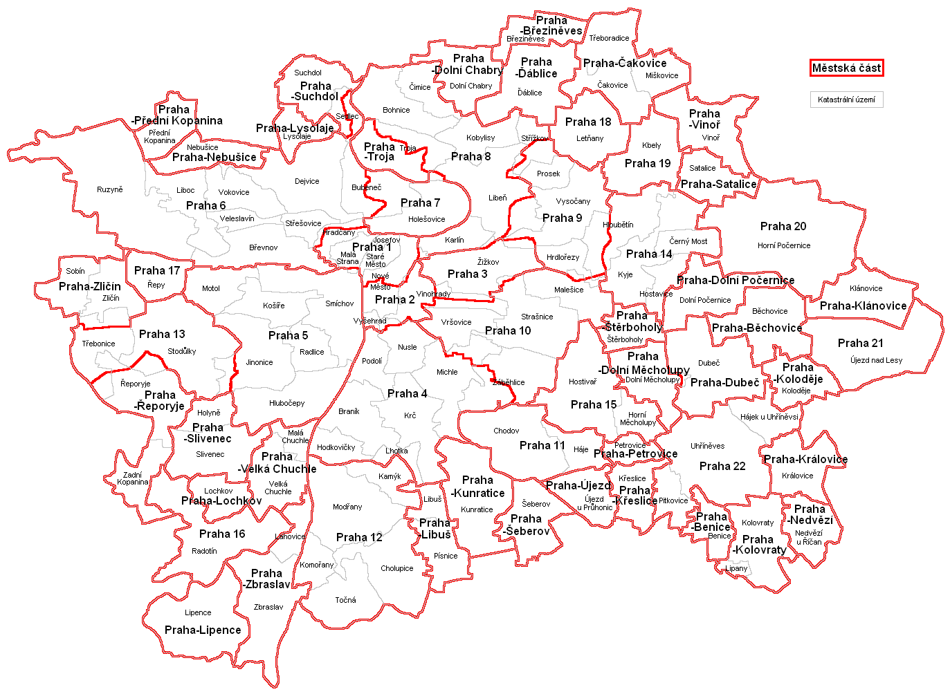
Overlay of a map of the districts of Prague on a satelite image
Summary edit
| Description |
English: An overlay of https://upload.wikimedia.org/wikipedia/commons/2/24/M%C4%9Bstsk%C3%A9_%C4%8D%C3%A1sti_Prahy.PNG on a satelite image from Google Earth |
| Date | |
| Source | Compilation of Google Earth imagery by GeoBasis DE-BKG and https://upload.wikimedia.org/wikipedia/commons/2/24/M%C4%9Bstsk%C3%A9_%C4%8D%C3%A1sti_Prahy.PNG |
| Author | GeoBasis DE-KBG |
Licensing edit
This file is licensed under the Creative Commons Attribution 4.0 International license.
- You are free:
- to share – to copy, distribute and transmit the work
- to remix – to adapt the work
- Under the following conditions:
- attribution – You must give appropriate credit, provide a link to the license, and indicate if changes were made. You may do so in any reasonable manner, but not in any way that suggests the licensor endorses you or your use.
File history
Click on a date/time to view the file as it appeared at that time.
| Date/Time | Thumbnail | Dimensions | User | Comment | |
|---|---|---|---|---|---|
| current | 14:21, 24 April 2022 | | 3,840 × 2,160 (6.21 MB) | Asiněkdo (talk | contribs) | Uploaded a work by GeoBasis DE-KBG from Compilation of Google Earth imagery by GeoBasis DE-BKG and https://upload.wikimedia.org/wikipedia/commons/2/24/M%C4%9Bstsk%C3%A9_%C4%8D%C3%A1sti_Prahy.PNG with UploadWizard |
You cannot overwrite this file.
File usage on Commons
There are no pages that use this file.