File:Dollysbrae Road - geograph.org.uk - 100732.jpg
No higher resolution available.
Dollysbrae_Road_-_geograph.org.uk_-_100732.jpg (640 × 480 pixels, file size: 101 KB, MIME type: image/jpeg)
Captions
Captions
Add a one-line explanation of what this file represents
Summary edit
| Description |
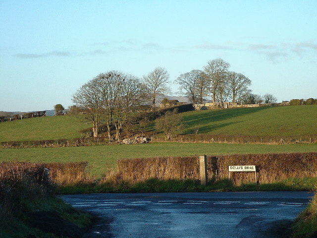
English: Dollysbrae Road. On July 12, 1849, Orangemen march from Rathfriland to Tollymore Park in County Down, Ireland to celebrate the anniversary of the Battle of Boyne, where William of Orange defeated the Catholic King James II of England. While passing through Magheramayo, which was predominantly Catholic, the group exchanged shots with a number of Ribbonmen. Ribbonism was a strongly Catholic Irish independence movement loosely associated with areas of Ulster and northern Connacht. The Orangemen proceeded to attack Catholic houses within the town, and roughly 30 Catholic people were killed. The event was subsequently known as Dolly's Brae. This incident led to the Party Processions Act.
On the 12th July 1849 the Orange Lodges of Ballyward District had visited Tollymore Park to honour the 4th Earl of Roden who was the Grand Master of Ireland. The Lodges turned homewards in procession through Bryansford, leaving Castlewellan by the old county road which now forms the southern boundary of Castlewellan Forest Park. |
| Date | |
| Source | From geograph.org.uk |
| Author | Kevin O'Kane |
| Attribution (required by the license) | Kevin O'Kane / Dollysbrae Road / |
| Object location | | View this and other nearby images on: OpenStreetMap |
|---|
_&language=en)
Licensing edit

|
This image was taken from the Geograph project collection. See this photograph's page on the Geograph website for the photographer's contact details. The copyright on this image is owned by Kevin O'Kane and is licensed for reuse under the Creative Commons Attribution-ShareAlike 2.0 license.
|
This file is licensed under the Creative Commons Attribution-Share Alike 2.0 Generic license.
Attribution: Kevin O'Kane
- You are free:
- to share – to copy, distribute and transmit the work
- to remix – to adapt the work
- Under the following conditions:
- attribution – You must give appropriate credit, provide a link to the license, and indicate if changes were made. You may do so in any reasonable manner, but not in any way that suggests the licensor endorses you or your use.
- share alike – If you remix, transform, or build upon the material, you must distribute your contributions under the same or compatible license as the original.
File history
Click on a date/time to view the file as it appeared at that time.
| Date/Time | Thumbnail | Dimensions | User | Comment | |
|---|---|---|---|---|---|
| current | 22:44, 30 January 2010 | | 640 × 480 (101 KB) | GeographBot (talk | contribs) | == {{int:filedesc}} == {{Information |description={{en|1=Dollysbrae Road. 12th July 1849, a battle took place between the British Orange Order and local Irish. 30 Irish were killed. On the 12th July 1849 the Orange Lodges of Ballyward District had visi |
You cannot overwrite this file.
File usage on Commons
There are no pages that use this file.
File usage on other wikis
The following other wikis use this file:
- Usage on en.wikipedia.org
- Usage on ha.wikipedia.org